Information about Cyprus

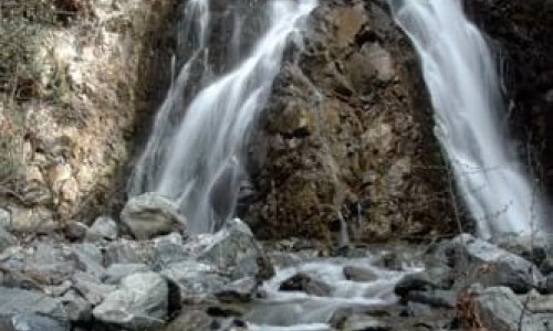
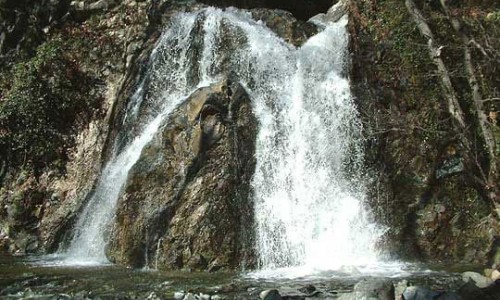
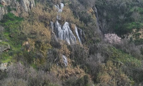
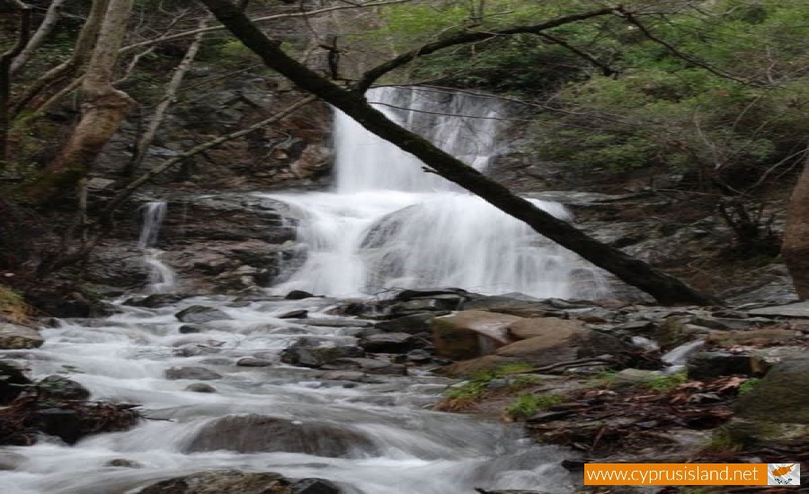
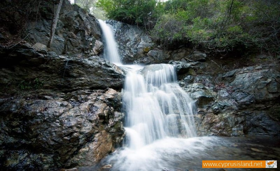
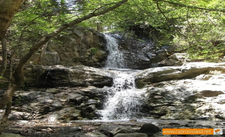
Mesa Potamos Waterfall
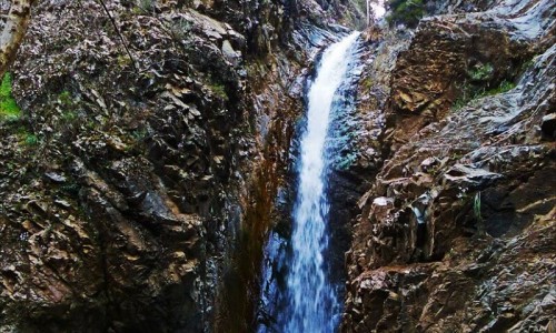
The Mesa Potamos Waterfall is situated on the river bed of Arkolachanias river (Mesa Potamos), northwest of Saitas near the Timios Prodromos Monastery at Mesa Potamos at an altitude of 1000m.
The height of the waterfall is 7 meters. The rocks comprise mainly gabbro. The vegetation of the area is similar to that of the Chantara waterfalls.
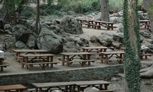
The waterfall was named after the river Mesa Potamos. The visitor may follow the road from Saitas, a 5 km long dirt road, from the Moniatis village a 5,5 km dirt road, from the village of Platres, a 6 km long dirt road, from the village of Kato Amiantos a 7 km dirt road and from the Mesa Potamos picnic area through the 200 meter downhill trail.
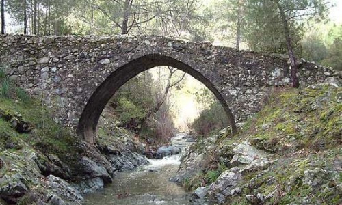
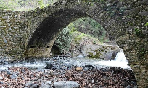
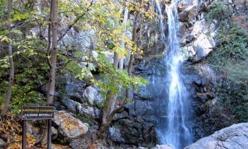
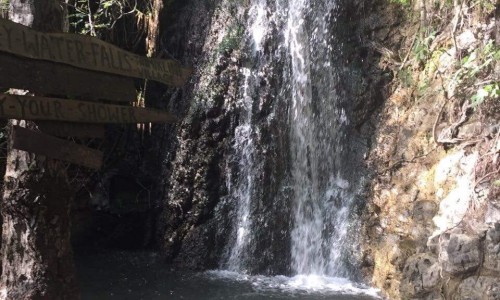
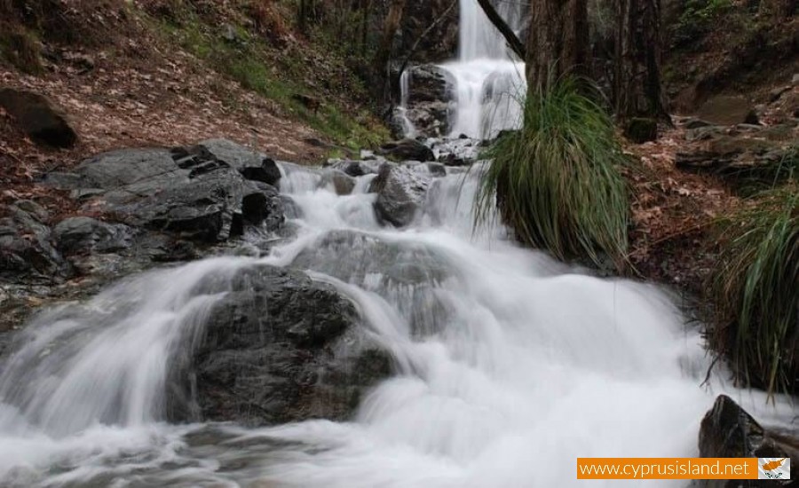
Mesa Potamos Waterfall photos:


Mesa Potamos Waterfall video:
Mesa Potamos Waterfall location map: