Information about Cyprus

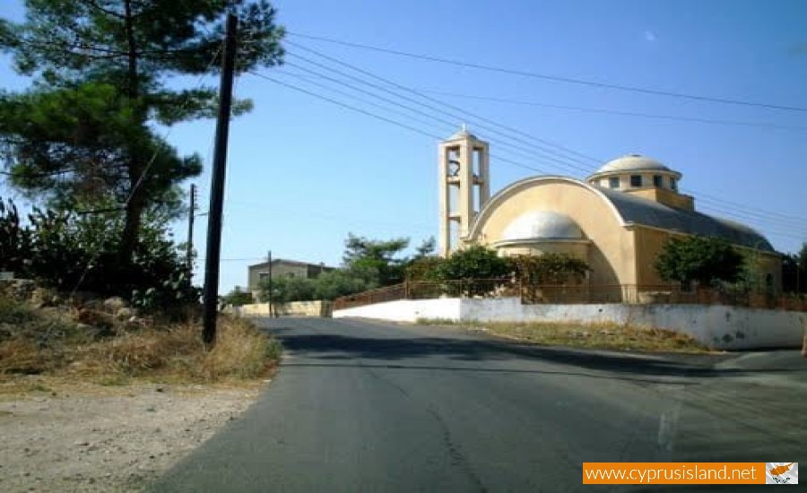
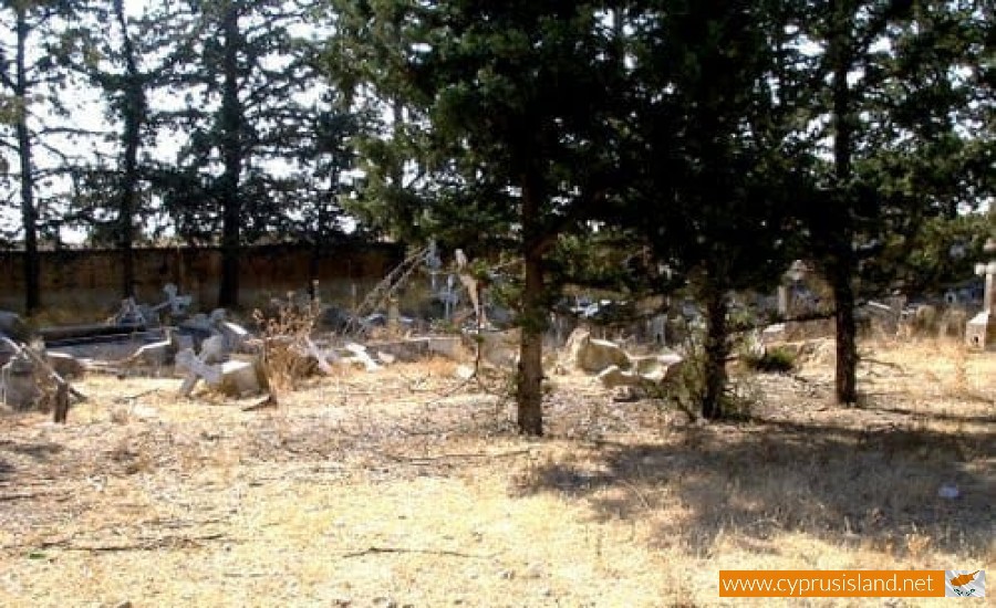
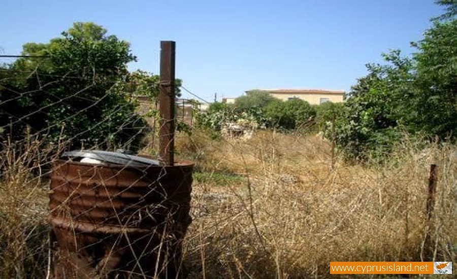
Gypsou Village
Gypsou is a community in the occupational district of Ammochostos, also known locally as “Sakkohori” as in the past, the residents dealt with the construction of wool sacks. It is located 22 kilometres northwest of Ammochostos in the geographical area of Mesaoria.
It seems that it took its name from a small mountain which is located a mile north of the village, the Gipsovouno. The population of the village in 1973 was estimated to be 1187 residents.
During the Turkish invasion, the community was taken over by the Turkish army, resulting in the evacuation of the village by its residents.
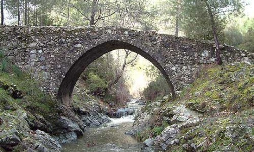
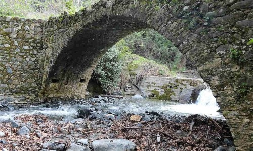
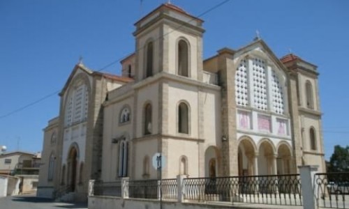
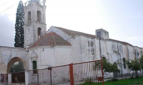
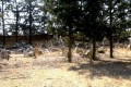
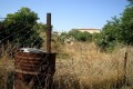
Gypsou Village photos:
Gypsou Village location map: