Lagoudera - Agros Nature Trail
Location: Lagoudera – Chandria - Polistypou
District: Nicosia
Starting Point:
Route 1: Rustic road between Lagoudera and the main road of Chandria – Polistypou, about 700 metres from Lagoudera.
Route 2: From Agros. On the bypass road of Agros, at a point above the dam.
Length: 6 kilometres
Time: 2, 5 hours hiking
Difficulty: 3
Points of Interest:
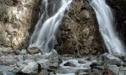
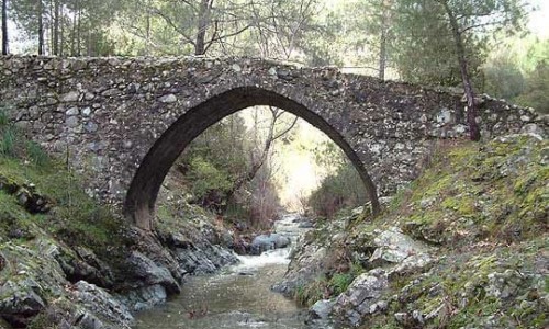
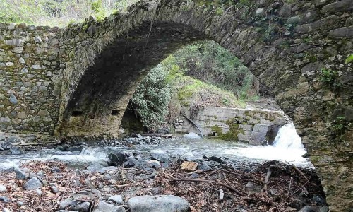
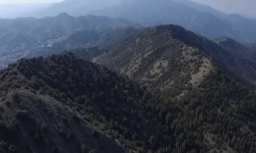
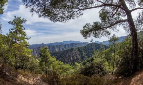
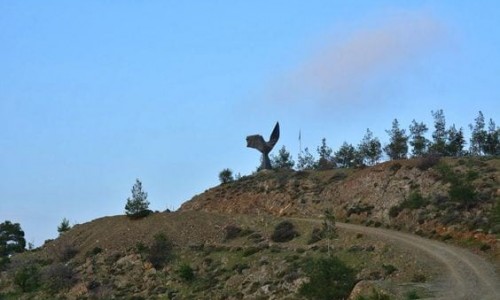
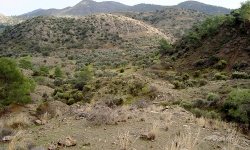
The nature trail follows a course through vineyards and fruit tree cultivations such as apple trees, cherry trees and pear trees. The first part from Lagoudera follows a course parallel to the Lagoudera River which it crosses. At the peak line of Madari – Papoutsa , there is a panoramic view towards all directions. There is also the option of following a course towards Madari using the accessible road and the nature trail network which starts at the Adelfoi peak. The starting point from Lagoudera is not far away from the Lagoudera – Stavros tou Ayiasmati nature trail.
Rules of conduct for Visitors
Visitors of nature trails sites should follow some basic rules of conduct to ensure the least possible harm to the environment but also to ensure the comfort of other guests.
The most important of these rules are the following:
- Keep the area clean. Collect all the rubbish that have emerged and put them in bins. If for any reason there are no bins or if it is full, then take your trash with you. Do not leave plastic bags outside, because they are usually scattered by stray dogs, foxes etc.
- Do not make unnecessary noises, respect the rights of the others for peace and quiet.
- Cutting plants, tree bark harassing nests, damaging the environment are banned by the forestry legislation.
- Park your car in parking lots.
- Use the water with caution. Don't waste it.
- Solicit other guests to obey by the basic rules of conduct.
- If you notice a fire, immediately call the number 1407 (24 hours, toll-free)