Nicosia Villages
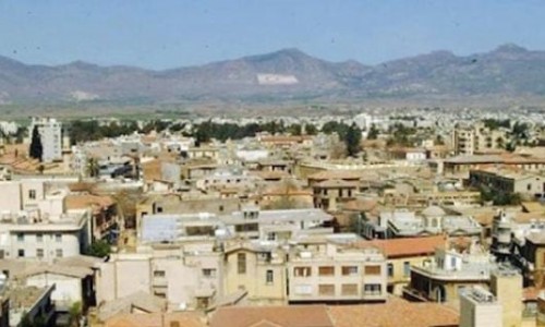
Nicosia is the capital of Cyprus and it is situated in the centre of the island. It is built over the Pedieos River and forms the base for the government. During antiquity its name was Lydra and it was one of the most ancient kingdoms in Cyprus. As the capital of Cyprus, it was taken over by the Franks, the Venetian, the Ottomans and the British. The north part of Cyprus has been occupied by the Turks since 1974, making it the only divided capital in Europe.
The Nicosia district is one of the 6 districts and it is the largest on the island. It has an extent of 2710 square kilometres forming the 29,32 % of the island. Nicosia has and a population of around 326,000 residents making it the largest district in both size and population. Nicosia is the only district that borders with all the other districts in Cyprus. It border with the Κyrenia district to the north, the Paphos district to the west, the Limassol and Larnaca districts to the south and the Ammochostos district to the east.
Nicosia is then divided into twelve municipalities (The Morphou and Kythrea Municipalities are under occupation) and 162 communities (39 of these communitites are under occupation). The ten free municipalities are: Dali, Tseri, Lakatamia, Latsia, Aglantzia, Agios Dometios, Engomi, Anthoupoli, Geri and Strovolos. To the north Nicosia extends until the Green Line, to the west until Pachyammos Village, to the south until Mylikouri and to the east until Lymbia.
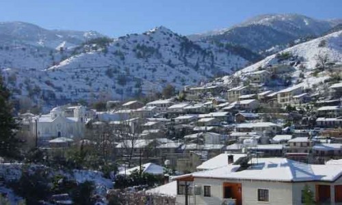
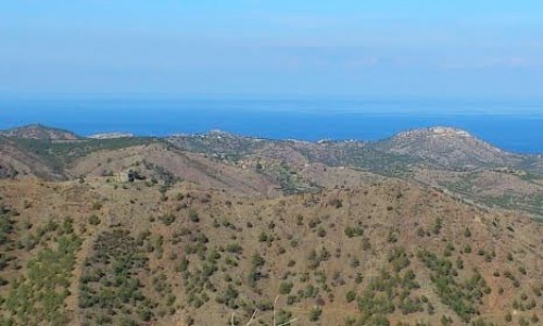
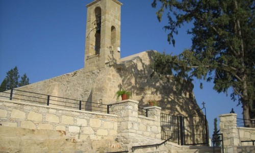
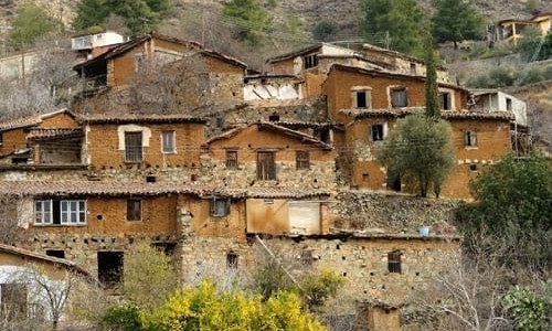
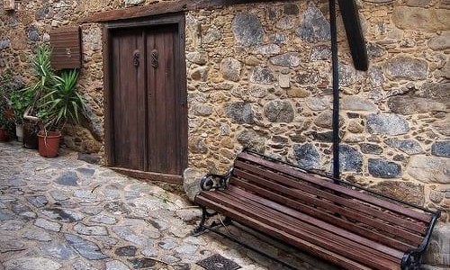
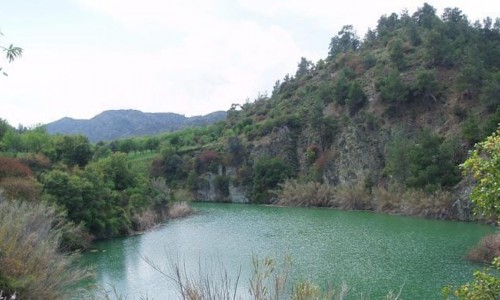
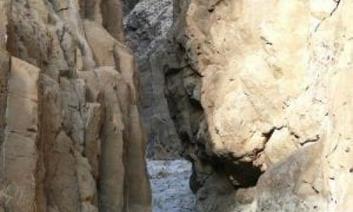
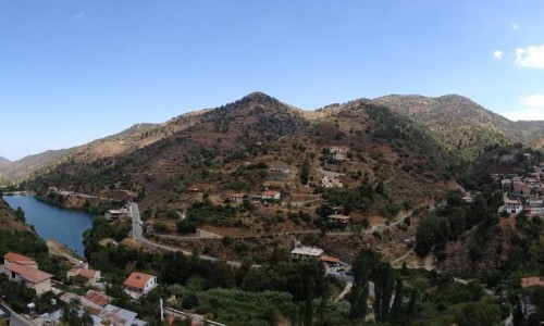
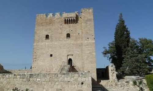
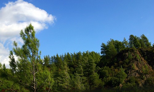
All of the 162 villages have their own unique beauty and attraction. There are many attractions in the villages ranging from churches, museums, culture attractions and nature attractions. The many churches, chapels, monasteries in all of the villages also show how religious the residents are. The museums along with other cultural buildings help preserve the culture and the customs that each village has.
Each village has traditional restaurants and shops that can offer you with the local cuisine as well as the local products that it produces (wine, koumandaria, zivania, spoon sweets, soutzouko) and the Cypriot hospitality.
To view the list of all the Nicosia Villages refer to the Nicosia Villages List.
Country | Cyprus |
District | Nicosia |
Population | 244,200 |
| Website | www.nicosia.org.cy |