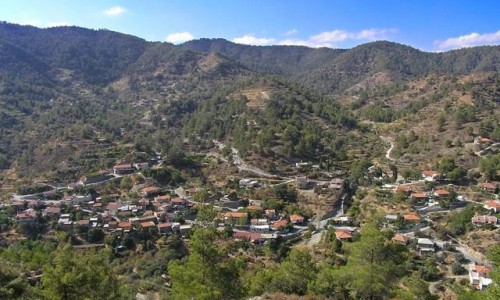
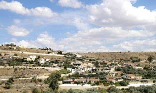
Geri Village
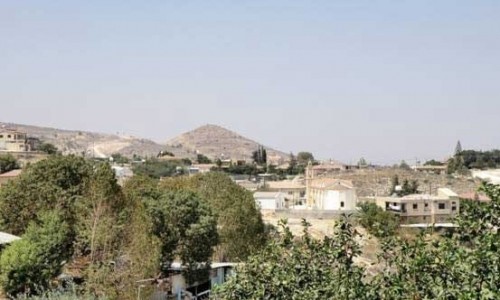
Geri is a large village, which is located 10 kilometres northeast of the capital of Cyprus, Nicosia and is about 4 kilometres away from the University and the General Hospital of Nicosia and the National Park. After the voting which took place in July 2011 the community of Geri was converted into a municipality.
Name
According to the folklore tradition, Geri took its name due to two versions: 1) The village took the name Geri because it is built on a breezy hill. The word Agerin means breezy hill and the word Geri is short for that. 2) The second version has to do with the miraculous icon of the Virgin Mary Chrysogeriotissa. The pregnant women of the village filled with faith would ask for the Virgin Mary to bear strong children, which is Greek is the word “gera”.
History
During the medieval years, Geri belonged to Feudal lords according to the Venetian maps. Florios Voustronios wrote that during the period 1464-1468, Geri was a feud of Tagivarti, Polo and Zian Zappo. It is possible, that during the large extend of the feud that one part belonged to one feud lord and another part belonged to another.
Development
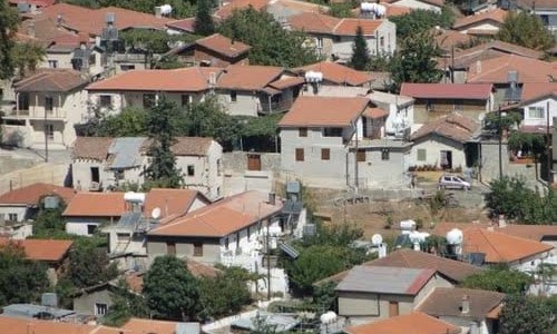
The village, before the decade of the 80’s was a small agricultural village. After the Turkish invasion in 1974 many refugees built near the village as it is very close to the capital city. Therefore during the 90’s the village received an increase in residents as well as an increase in development. Today, there is also an industrial area, with industries which dealt with the development of bricks, plastics, animal food and chicken food.
Education
There is no evidence to show the existence of a school before the British rule. Today there are two public Kindergardens, two Primary Schools and a Gymnasium which cover the community needs. There is also a special School called “Evangelismos” which is for children with special needs.
Population
The most important population increase occurred after the Turkish invasion, due to the settlement of a large number of refugees. While the population of Geri was only a few hundred before 1974, in 1982 it reached 2.500. Even more impressive is the population increase which has been noticed during the last years, which is due to the development in the regional area. In particular, from 1982 until today, the population has almost quadrupled. After a survey done by the Community Council of Geri, it seems that the population today is over 10.000.