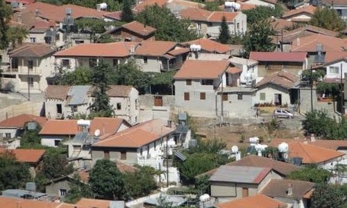
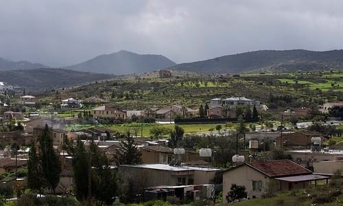
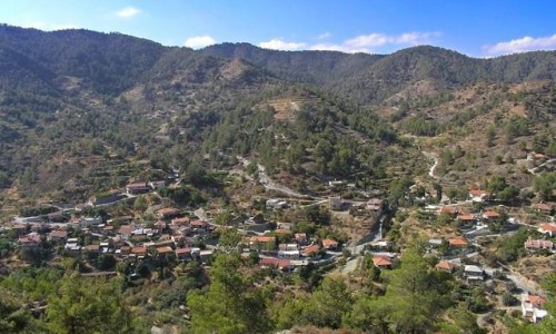
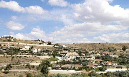
Agios Dometios is a suburb west of Nicosia and a municipality of Cyprus since 1986. It has an extent of 12 square kilometres and is located at an altitude of 160 metres. The largest part of the municipality, 4/5 are under the Turkish Occupation since 1974.

It is located 3 km from Nicosia and is crossed by the streams Siemma and Jiinar, riverines of the Pedieos River. Another large parish of the municipality is the parish of Agios Pavlos. It is mentioned for the first time during the Frankish rule, as a field.

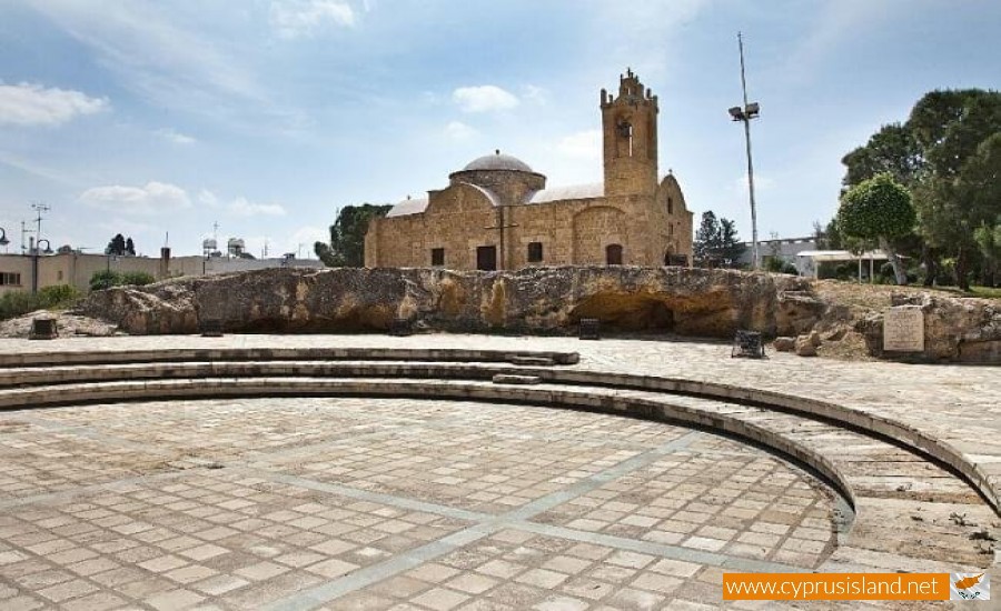
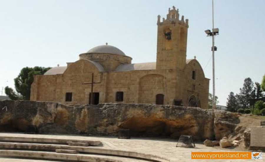
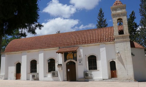
Until recently it was a small village with two churches, of Agiou Georgiou and Agiou Dometiou. It took its name from Agios Dometios the Persian. In Agios Dometios there is a border to the occupied Turkish side of Cyprus which was opened to the public in 2004.

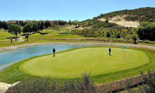
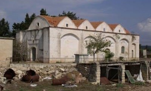
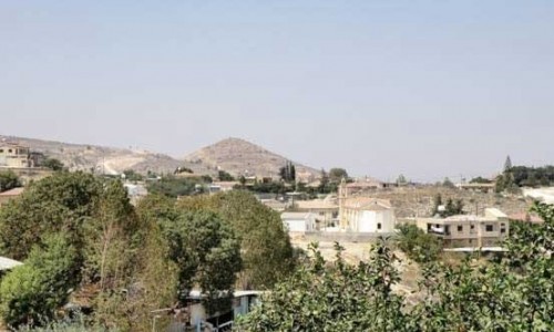
Agios Dometios photos: 
Agios Dometios location map: 

Nearby Places and things to do (within 5 km radius)

Agiou Onisiforou Church, Anarita Village

The Agiou Onisiforou Church is located in the south entrance of the village of Anarita in the Paphos district. It was previously situated in...

Agiou Epifaniou Chapel, Anarita Village

The Agiou Epifaniou Chapel is situated at a short distance from the village of Anarita in the Paphos district. More specifically it is lo...

Agia Marina Church, Anarita

The Agia Marina Church is located in the village of Anarita in the Paphos district and it is the main church of the village. The c...

Anarita Picnic Area

The Anarita Picnic area is situated north of community of Anarita, near the Kapparovounos area in the Paphos district. It was created in 200...

Eleouthkia Park - Anarita

Botanical Section The Eleouthkia Park is the first traditional theme and botanical  park in Cyprus. The park is located in the villa...

Timi Village

Nestled in the serene countryside of Cyprus, Timi Village offers a delightful escape from the hustle and bustle of city life. With its idyll...

Pages