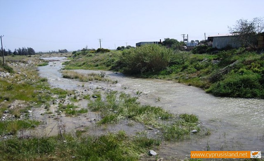
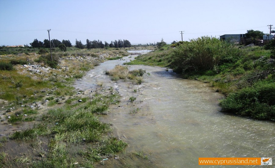
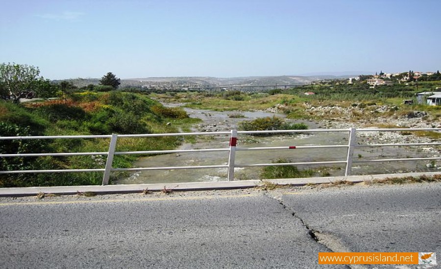
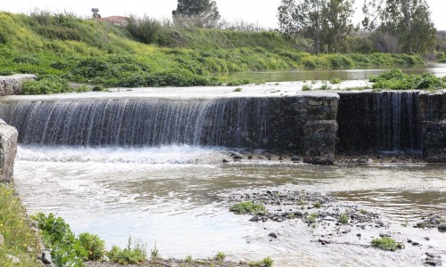
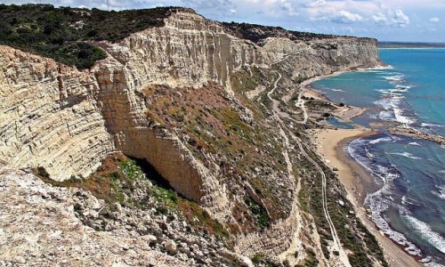
Kouris River is situated between the villages of Erimi to the east and Kantou to the west in the Limassol district. It is the 7th largest river in Cyprus with a length of 38 kilometres.

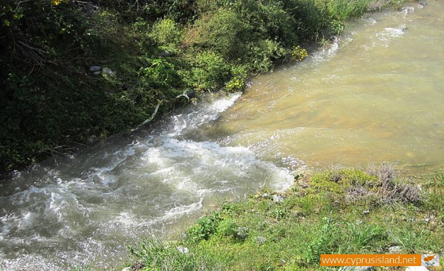
Even though its basin isn’t the largest in Cyprus, Kouris can collect large amounts of water, making it the largest river in capacity. It flows from the Troodos picnic area, becomes raging in Pano Amiantos finally pouring into the Episkopi Bay near Limassol.  During its course it passes through the Kyperounta village, the Saita Valley and the Trimiklini village forming a small canyon. In the case that the river overflows, it continues for about 13800 metres and it eventually pours into the Kouris Dam creating an impressive site.

Kouris River photos: 
kouris
kouris
  • kouris
  • kouris river
  • kouris river cyprus
  • kouris river limassol
  • river kouris
Kouris River location map: 

Nearby Places and things to do (within 5 km radius)

Tsada village

Tsada is considered a large village in the Paphos district in Cyprus and it is about 10 kilometres away from the town of Paphos. The...

Aqua Sol Waterpark

The Aqua Sol Waterpark is located in the Aqua Sol Holiday Village in the Coral Bay - Peyia area of Paphos. The waterpark is about 1, 5 ki...

Marios Golf Park

Marios Golf Park is located in the Paphos district opposite the Azia Hotel, on the Kato Paphos to Coral Bay road. Access to the golf park by...

Archangelos Michael Chapel, Chloraka

The Archangleos Michael Chapel is situated at the west part of the Chloraka village in the Paphos district. The chapel was on private proper...

Apostle Paul and Saint Helen the Martyr Chapel - Paphos

The Apostle Paul and Saint Helen the Martyr Chapel is a modern chapel located in the town of Paphos. It is a very small chapel of 56.0 sq...

Agiou Lambrianou Cave, Emba Village

The Agiou Lambrianou Cave is situated in the village of Emba in Paphos. It is now know exactly when Agios Lambrianos lived, and if the hagio...

Pages