Kalavasos Village
Tucked away in the rolling hills of southern Cyprus, Kalavasos is a charming village that offers a perfect mix of rich history, rustic beauty, and authentic Cypriot culture. Located just off the main highway between Larnaca and Limassol, Kalavasos may be small in size, but it's big on character. For those seeking a quieter, off-the-beaten-path destination that still offers plenty to explore, this picturesque village is an ideal stop.
Kalavasos has been continuously inhabited for thousands of years, with roots stretching back to the Neolithic period. The area’s name is believed to derive from the Greek words kala (good) and vassa (valleys or wooded areas), highlighting the fertile and scenic landscape that has supported life for millennia.
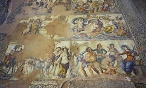
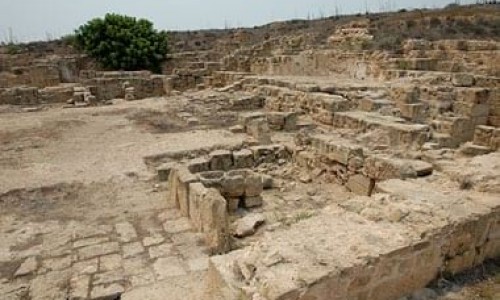
One of the most important archaeological sites near the village is Tenta, located just 4 km to the south. Dating back to around 7000 BC, this prehistoric settlement is one of the earliest examples of organized human life on the island. Today, it’s easily recognizable thanks to the modern dome-shaped canopy that protects its ancient ruins. Visitors can wander through the remains of circular mud-brick dwellings and imagine life in Cyprus over 9,000 years ago.
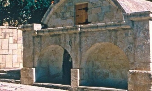
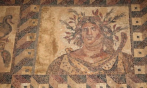
Another significant historical feature of Kalavasos is its connection to copper mining. Cyprus’s very name is tied to copper (kypros), and Kalavasos played a central role in this ancient industry. The now-abandoned mines and smelting sites around the village once bustled with activity, particularly during Roman and medieval times. Some of the old mining infrastructure can still be seen today, adding a layer of industrial heritage to the area.
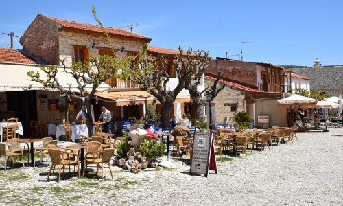
Village Charm and Architecture
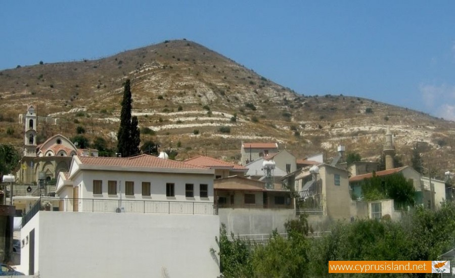
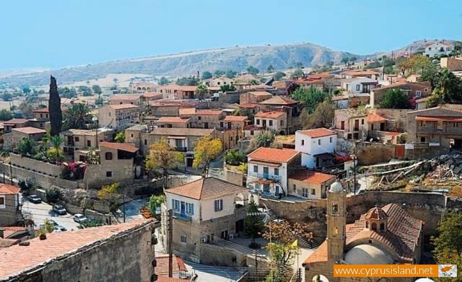
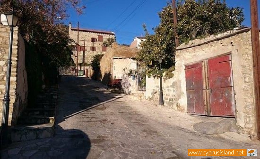
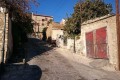
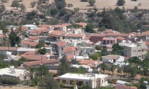
Kalavasos itself is a delight to explore on foot. The village center is full of traditional stone-built houses, narrow alleyways, and quiet courtyards bursting with bougainvillea. Local architecture reflects classic Cypriot style, with terracotta rooftops, arched doorways, and shaded verandas designed to provide relief from the Mediterranean sun.
A central gathering point in the village is the main square, where you'll find a handful of tavernas and cafes. These are perfect spots to enjoy a traditional Cypriot coffee or a glass of zivania, the island’s signature spirit. Time moves slowly here, and that's part of the charm — visitors are encouraged to linger, chat with locals, and embrace the laid-back rhythm of village life.
Religious and Cultural Heritage
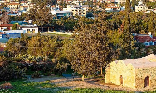
The village is home to several beautiful churches, most notably the Church of Panagia Toxiotissa, which is the main parish church. With its elegant architecture and serene atmosphere, it’s a focal point for community life and religious festivals.
Kalavasos also plays host to various cultural events throughout the year, including celebrations tied to Easter and village name days. These festivals are filled with music, dance, and traditional Cypriot food — a great opportunity for visitors to experience the local culture firsthand.
Nature and Outdoor Activities
Surrounded by hills and olive groves, Kalavasos is a great base for nature lovers. Several walking and cycling trails wind through the countryside, offering scenic views and a peaceful environment. The Vasilikos River flows nearby, and its gentle presence has shaped the agricultural life of the region.
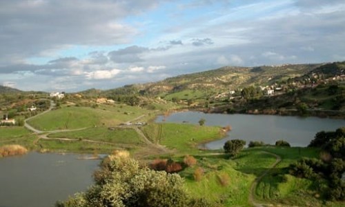
Just a short drive from the village is Kalavasos Dam, a serene spot ideal for birdwatching, fishing, or simply relaxing by the water.
Where to Stay and Eat
Kalavasos has embraced agrotourism in recent years, with several traditional homes and boutique guesthouses restored and converted into cozy accommodations. These offer a more authentic and personal experience than large hotels, often including home-cooked meals and warm hospitality.
For dining, local tavernas serve classic Cypriot dishes like kleftiko (slow-cooked lamb), souvla, and halloumi made from nearby dairies. Many of the ingredients come straight from the surrounding land — a true farm-to-table experience.
Nearby Attractions
Kalavasos is well-positioned for exploring nearby attractions:
- Choirokoitia, a UNESCO World Heritage Site, is only a short drive away and features another important Neolithic settlement.
- The coastal town of Zygi, known for its fish taverns and marina, is perfect for a seaside lunch.
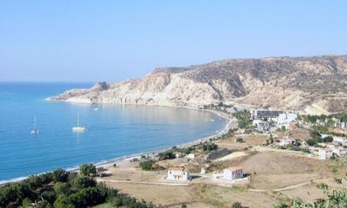
- The Governor's Beach offers white cliffs, clear waters, and a relaxing beach experience just 15–20 minutes away.
Kalavasos is one of those rare places where history, nature, and hospitality come together in perfect harmony. Whether you’re an archaeology enthusiast, a lover of rural landscapes, or a traveler seeking an authentic slice of Cypriot life, Kalavasos welcomes you with open arms. It’s not just a place to visit — it’s a place to experience.