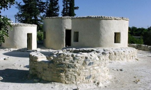
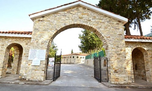
Paliometocho Village
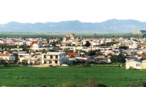
Paliometocho is a large Greek village in the Larnaca district about 20 kilometres southwest of the city of Nicosia.
According to the inventory in 2001 it has 4.074 residents. It is built near the west bank of the river Merika which is a smaller river of the main one Serrahi at an altitude of 230 metres.
Residential Development
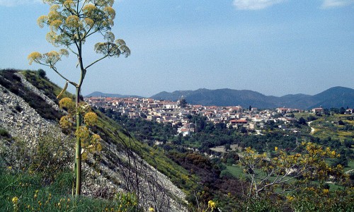
Paliometocho is located about 1.5 kilometres left from the new road of Nicosia-Agion Trimithias Kokkinotrimithias-Troodos. It is about 3.5 kilometres from the village Kokkinotrimithia which is located to its north. The small distance that the village has from the capital is one of the reasons which a large number of residents have developed the area in both agriculture and livestock. During 1881 the residents were 410 which were then increased to 495 in 1891, to 629 in 1901, to 763 in 1911 , to 828 in 1921 , to 969 in 1931 to 1.356 in 1946 , to 1.848 in 1960 and to 2.303 in 1973. Based on the formal inventory in 1973, Paliometocho was the 14th village in population in its district.
After the Turkish invasion in 1974 many Greek Cypriots took refuge in the area. In October 1987, two areas were developed into 74 pieces of land for the refugees. In 1976 its residents were 2.686 and in 1982 they numbered 2.778. With the official inventory in 1982, Paliometocho was the 10th largest area in population of the Nicosia district.