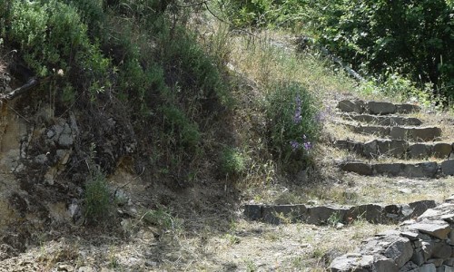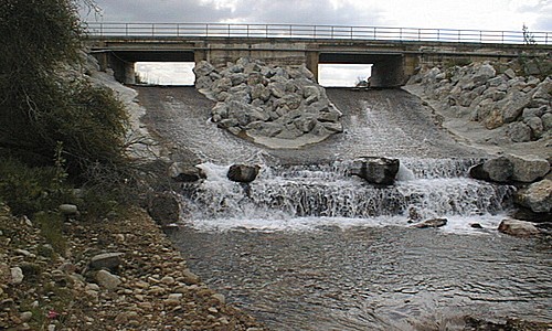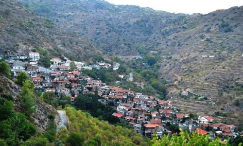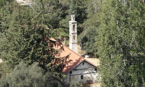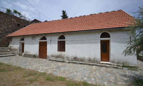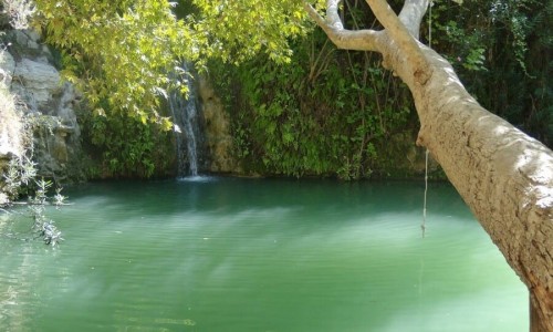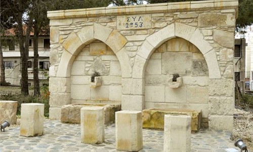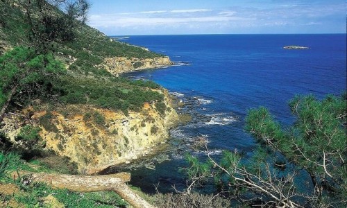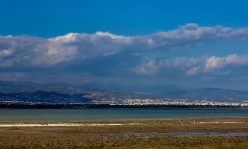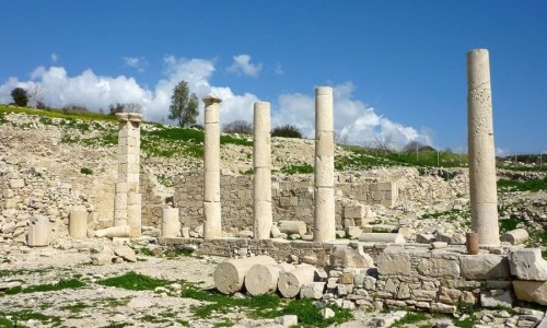


At a distance of about 50 kilometres from the Nisocia district is the beautiful, graphic Agios Georgios Kafkallou village. The village extends to the foot of the Troodos mountain range and it enjoys a spectacular view towards many directions as well as different types of views. Glancing from the village, someone can see the pine filled mountain peak of Madari, the olive trees, the peak of Alestou and the pine forest as well as the Troodos mountain range.
Name
The name of the village is connected with a chapel which was in the area and underneath it there was a cave in which a monk lived in. In this cave, the icon of Saint George was found and that is how the village received its name. Additionally the name of the village is connected with the location. In particular it is built at a “kafkallos” which is why the village is called Agios Georgios Kafkallou.
Historical details
According to historical sources, in the regional area during the medieval years there were two communities, the Athasin and Kafkallon. These communities do not exist today. The Athasin was marked on the old maps as Atassi while the area of Kafkallou was east of Asinou and in the old maps was marked as Cascallo. Apart from the communities in the area there were also tombs-caved found in the location Strongilovounaro. The habitation of the village is connected to the decision of the residents of Kiperounda as well as the other neighbouring villages in Troodos to move permanently or seasonally in Saint George. During the period of the Turkish occupation and in particular during the 1830’s, three families from Kiperounda began to use the land in Saint George.
Additionally, the habitation of Saint George was also due to the need of the farmers of the area to search for land in order to cultivate as well as for their livestock, especially during the summer months in which the climate was too hot and the cultivation areas were not enough.
Population
Saint George is a small population community. In 2011, according to the community data, the village had 25 residents while in 2001, it barely had 15. This is considered a significant increase. The most important increase though is noticed during the summer months. It is estimated that the population during that period reaches 140. The population course of the community, can be seen in the following table as being negative. The decrease of the population is due to the character of the community, for example the few occupational positions in the community as well the regional area and the absence of various facilities do not make it an eligible area for families to live in.
Year | Population |
1946 | 32 |
1960 | 23 |
1973 | 48 |
1982 | 21 |
1992 | 4 |
2001 | 15 |
2011 | 25 |
Near Agios Georgios Kafkallou Village
Other places within a short drive, closest first.