The village of Vretsia is situated in the Paphos district. It is located on the road towards the villages of Pano Panayia, Axylou, Amargeti, Pentalia, Galataria and Koilineia.

Vretsia is an abandoned Turkish Cypriot village that was deserted by its inhabitants after the Turkish invasion in 1974. The Turkish Cypriot residents were forced to leave their houses and move to the north of Cyprus after being ordered by the Turkish troops.

According to the inventory, during 1946 the village had 393 residents while the decreased slightly in 1960, dropping to 386 residents. After the war the residents were only 5 in 1982 and 3 in 1992.

The last inventory took place in 2001 with no residents.

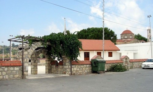
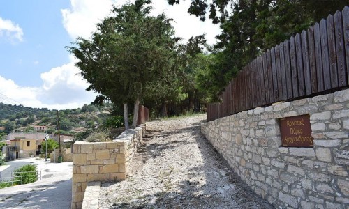
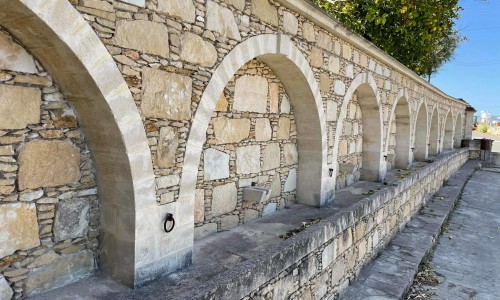
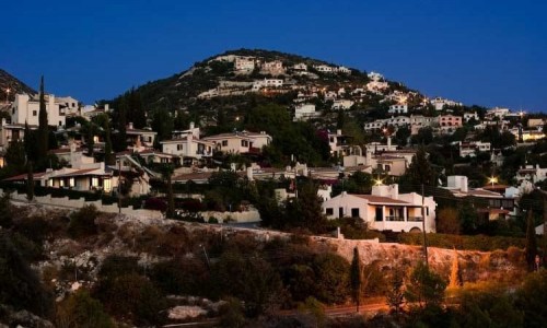
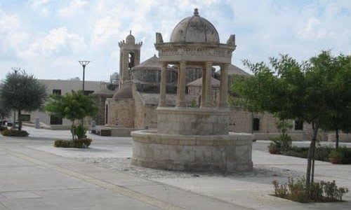
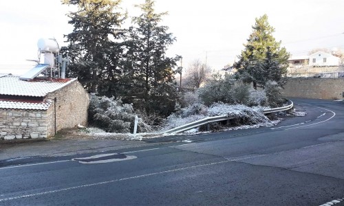
Vretsia Village photos: 
vretsia paphos
vretsia paphos
  • vretsia paphos
  • vretsia village
  • vretsia village paphos
Vretsia Village location map: 

Nearby Places and things to do (within 5 km radius)

Lythrodontas

Lythrodontas is a village which is built at the foot of Machera mountain area. The colour of the village is green due to the olive trees. Th...

Lefkothea (Aetomoutti) Nature Trail

Location:Lythrodontas- Lefkara District: Nicosia Starting Point: Length: 1, 3 kilometres Time: 0, 5 hours hiking Difficulty...

Kapedes Village

Kapedes is one of those Cypriot villages that doesn’t announce itself with grand monuments or loud tourism energy. Instead, it draws you i...

Agia Marina Church - Analyontas

To the east of the village of Analyontas, between the graphical houses, is the church of Agia Marina. It is the main church of the village. ...

Archangelos Michael Monastery - Analyonta

To the southwest of Analyonta , on a green hill is the monastery of Archangelos Michail. The specific time of its construction is unknown. T...

Analiontas

Analiontas is considered as a small village of about 350 residents and is located at an altitude of 380 metres at a distance of 20 kilometre...

Pages