Peyia
Perched gracefully on the scenic hillside of western Cyprus, Peyia Village exudes a timeless charm that captivates visitors with its authentic Cypriot character, stunning views, and warm hospitality. Nestled in the Paphos region, this picturesque village offers a serene escape from the bustling tourist areas while providing a perfect base to explore the island's natural wonders and cultural treasures. Join us as we uncover the allure of Peyia Village and the unique experiences it offers to all who venture into its welcoming embrace.
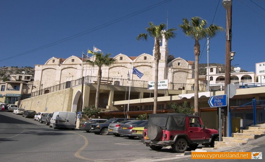
Peyia Village is a true gem that has preserved its traditional Cypriot character over the years. Cobblestone streets wind through the heart of the village, lined with quaint whitewashed houses adorned with colorful bougainvillea and fragrant jasmine. As you stroll through its charming alleys, you'll encounter local tavernas, family-run shops, and friendly locals eager to share the village's stories and traditions. One of the highlights of Peyia Village is its warm and welcoming atmosphere. Here, visitors can immerse themselves in the authentic Cypriot way of life, savoring the unhurried pace and genuine hospitality that make this village a delightful destination.
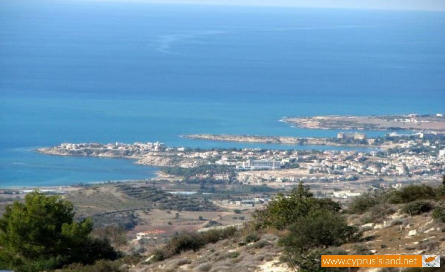
From its elevated vantage point, Peyia Village offers breathtaking panoramic views of the Mediterranean Sea and the rugged coastline below. The vistas extend all the way to the picturesque Akamas Peninsula, adding a touch of awe-inspiring grandeur to the village's already captivating landscape. Nature enthusiasts will find themselves at home in Peyia Village, as it serves as an excellent starting point for exploring the nearby Akamas National Park. Hiking trails lead through lush landscapes, revealing hidden gorges, serene valleys, and dazzling wildflowers in the spring. Don't miss the opportunity to witness the stunning sunset over the sea, a sight that never fails to leave a lasting impression on visitors.
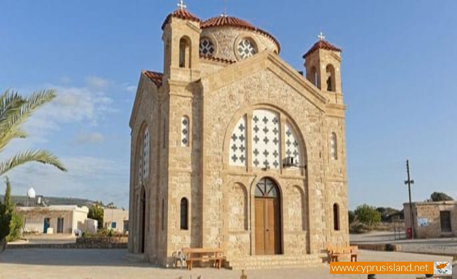
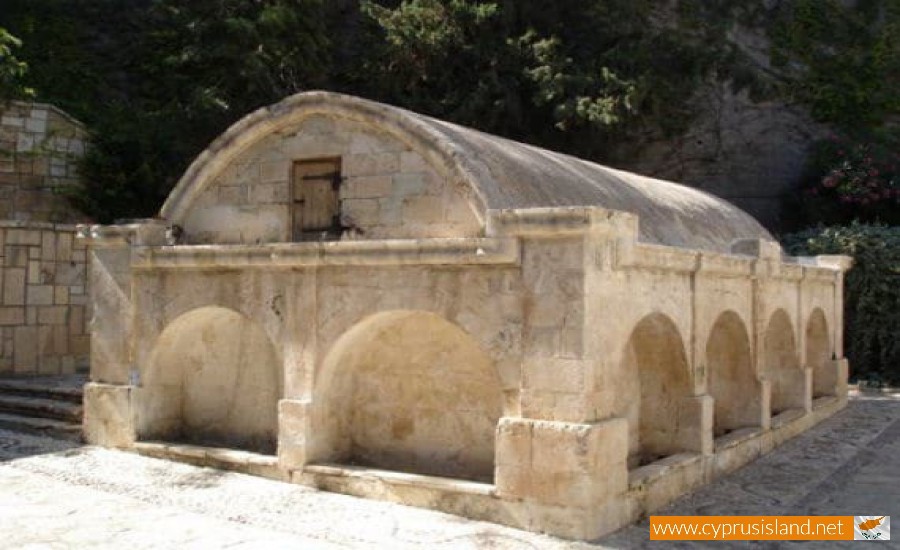
Peyia Village is steeped in history and is home to several cultural landmarks that offer insight into Cyprus' rich past. The Chrysorogiatissa Monastery, dating back to the 12th century, stands proudly amidst the vineyards and olive groves at an hour's drive. This Byzantine-era monastery is a serene sanctuary where visitors can admire beautiful frescoes and religious artifacts. Another notable site is the Agios Georgios Church, perched on a cliff overlooking the sea. This charming chapel boasts breathtaking views and is the perfect spot for quiet contemplation and reflection.
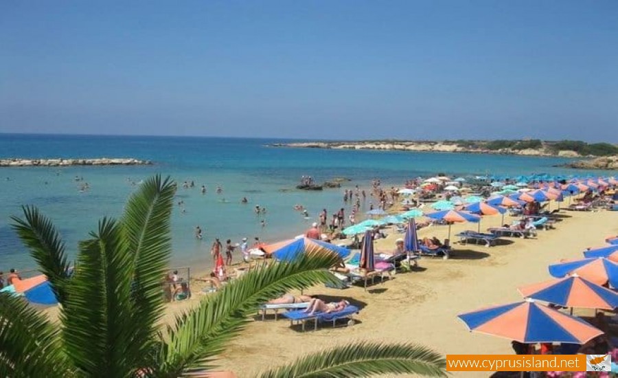
Peyia Village's culinary scene is a delightful fusion of traditional Cypriot dishes and modern Mediterranean flavors. Local tavernas serve up delectable mezes, allowing visitors to savor a variety of small dishes, including halloumi cheese, souvlaki, kleftiko, and more. The village is also famous for its tavernas serving fresh seafood, giving visitors a chance to taste the bounty of the Mediterranean.
Peyia Village, nestled on the hillside of Paphos, Cyprus, is a captivating destination that offers a glimpse into authentic Cypriot life and the island's natural splendor. Its charming streets, panoramic views, and warm hospitality create an enchanting atmosphere that lingers in the hearts of those who visit. Whether you seek a serene retreat, a cultural exploration, or a culinary adventure, Peyia Village promises an unforgettable experience filled with cherished memories of Cyprus' timeless allure. So, take a step back in time, soak in the beauty of the Mediterranean, and discover the hidden treasures of Peyia Village—a true haven on the Cypriot hillside.