Pomos Village
Tucked away on the remote northwestern coast of Cyprus, Pomos is one of the island’s most serene and untouched destinations. A village where time slows down, waves crash against dramatic rocky shores, and olive groves stretch toward pine-covered hills, Pomos offers visitors a rare and deeply authentic slice of Cypriot life.
This charming coastal haven blends natural beauty, rich mythology, archaeological heritage, and modern-day simplicity—all framed by the wild landscapes of the Tylliria region and the endless blue of the Mediterranean.
Where Is Pomos?
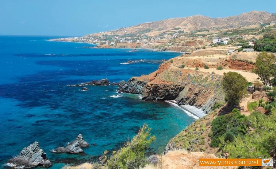
Pomos lies roughly 60 kilometers from Paphos and just 20 minutes north of Polis Chrysochous. Though small in size, its scenery is grand: the Troodos foothills rise behind it, while the endless sweep of Chrysochous Bay opens before it. The coastal road that winds through the region is one of the most scenic drives in Cyprus, offering panoramic views, cliffside bends, and wild, untouched beaches.
Nature & Landscape
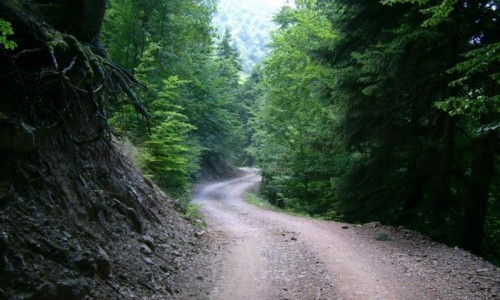
Pomos sits on the edge of nature. Its proximity to the Paphos Forest and the nearby Akamas Peninsula makes it a dream for lovers of the outdoors. The local environment is a beautiful mix of forest, rocky coastline, and agricultural fields.
The land is fertile thanks to natural springs and generous rainfall—particularly by Cypriot standards. Citrus trees, olives, avocados, and carob trees thrive here. Wild herbs like thyme and oregano grow in abundance, giving the air a subtly fragrant character. Don’t be surprised to see goats grazing freely, and locals tending their gardens or harvesting their orchards the traditional way.
The Spirit of the Village
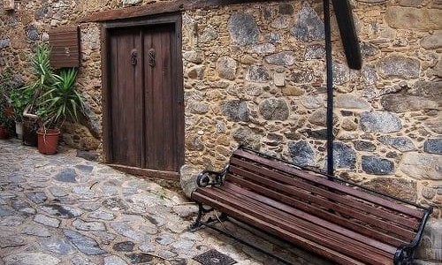
Despite its small population, Pomos carries a vibrant village soul. It’s not uncommon to hear laughter and conversation from old men playing tavli (backgammon) at the café, or to be greeted with a warm “Kalimera” by passing locals.
The pace of life here is gentle. There are no large resorts, no traffic lights, and no rush. It’s a place where nature, tradition, and simplicity converge.
Things to See and Do in Pomos
Pomos Beach & Coastline
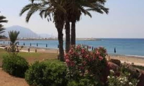
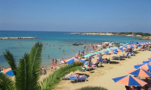
The main beach is a mix of golden sand and small pebbles, framed by raw rocky headlands. It's ideal for swimming in crystal-clear waters or simply relaxing under the sun. Pomos is not a busy beach destination, making it perfect for those seeking quiet seclusion.
Pomos Fishing Harbour
The small but active fishing port is the heart of the village. Colorful boats bob in the harbor, and fishermen haul in fresh catches each morning. You’ll find tavernas nearby that serve up grilled octopus, fresh red mullet, and meze platters made from the day’s haul.
The Idol of Pomos (Replica)
The original “Idol of Pomos”—a 5,000-year-old clay figurine representing a woman—is one of Cyprus's most iconic archaeological finds. Though the original is housed in the Cyprus Museum in Nicosia, a replica stands proudly in Pomos square, symbolizing the village’s deep-rooted cultural heritage.
This ancient fertility symbol is so significant that it even appears on Cyprus’s euro coins. Its presence in Pomos connects the village to a mysterious and ancient past.
Dragon’s Cave (Spilia tou Drakou)
Just beyond the village toward Cape Pomos lies the legendary Dragon’s Cave—a natural sea cave surrounded by dramatic cliffs. Local legend tells of a dragon that once protected the villagers from pirates by hiding within these rocks. Today, it’s a mystical spot perfect for those who enjoy exploring natural formations and local folklore.
Cape Pomos
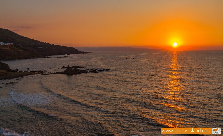
Drive or walk north of the village and you’ll reach Cape Pomos, a rocky promontory that juts dramatically into the sea. This is where the land truly ends—and it's one of the most scenic and unspoiled spots on the island. It’s perfect for photography, walking, and soaking in panoramic sunset views.
Church of Panagia Chrysopateritissa
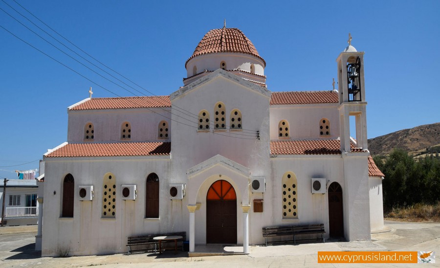
Located just outside the village, this modest but spiritually significant church was once part of a 16th-century monastery. The site offers views over the sea and is a peaceful place for quiet reflection. The church is still active and plays a role in local religious celebrations.
Culture, Events & Local Life
Despite its laid-back vibe, Pomos knows how to host a celebration. One of the most anticipated annual events is the Pomos Summer Festival, which often features:
- Live music (including jazz and traditional Greek)
- Local dancing performances
- Outdoor food and wine stalls
- Handmade crafts and exhibitions
These festivals are a great opportunity to mingle with locals and experience Cypriot culture at its most joyful and welcoming.
Where to Eat
Local tavernas and cafés in Pomos offer a taste of traditional Cypriot cuisine, usually with a strong seafood focus. A few favorites often include:
- Kanali Fish Tavern: Known for its seaside setting and generous seafood meze.
- Steni Tavern (in nearby Steni): A cozy inland stop for grilled meats and mountain-style cooking.
- Pomos Café: A casual spot for a coffee, souvlaki, or a chat with locals.
Meals are slow and social here. Don't be surprised if the owner sits with you for a chat or offers a complimentary glass of local wine or zivania.
Staying in Pomos
Pomos has a small selection of villas, guesthouses, and boutique stays, most of which emphasize privacy and ocean views. Popular options include:
- Cliffside holiday villas with infinity pools
- Family-run guesthouses with garden courtyards
- Eco-lodges offering rustic comfort among the hills
Staying in Pomos gives you a genuine feel for village life, far removed from the crowded beaches of Cyprus’s tourist hubs.
Getting There & Tips for Visiting
- Best reached by car, especially if you plan to explore surrounding villages like Pachyammos, Nea Dimmata, or head into the Paphos Forest.
- Ideal for hikers, photographers, writers, and those seeking peace or inspiration.
- Spring and autumn are the most comfortable for walking and enjoying the landscape. Summer is hot but great for beach lounging.
- Shops are limited, so it’s wise to stock up on essentials in Polis before arriving—though Pomos does have a mini market and café.
Why Visit Pomos?
Pomos is for travelers who seek something real. It’s not a place of nightlife or shopping malls. It’s a place where you can hear the sound of waves, feel the sea breeze through pine trees, and take time to notice the small, beautiful things: a fig tree in bloom, a fisherman mending his nets, or a sunset that stops you in your tracks.
Whether you're drawn by its natural beauty, its archaeological depth, or its unspoiled coastline, Pomos rewards you with a Cyprus few get to see—and one you’ll never forget.


