Information about Cyprus

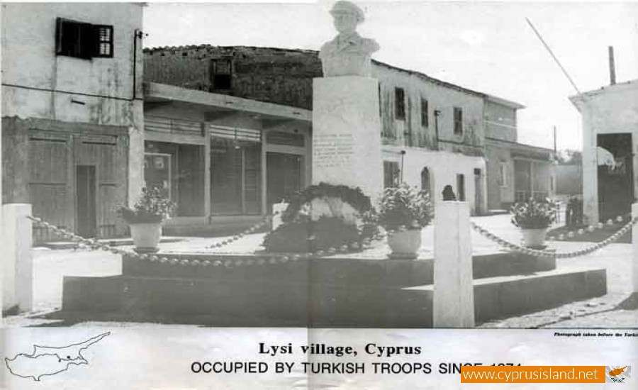
Lysi Village
Lysi is an occupied province of Cyprus and an independent municipality of the district of Ammochostos.
The municipality’s temporary base is Larnaca. Lisi is located in the area of Mesaoria and about 32 kilometres from Nicosia, 20 kilometres from Larnaca and 29 kilometres from Ammochostos. Before the Turkish invasion in 1974 it had 5.500 residents.
History
Lisi was announced a municipality in May 1962 with the first mayor being Yiango Souroulla. After the agreement with Zurich, the local board was replaced by the improvement board. In 1986 it was announced a municipality again. The name comes from the ancient city of Elisi which was in the area.
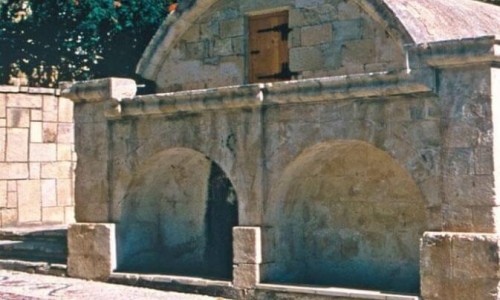
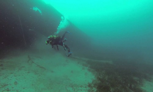
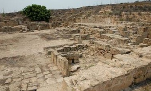
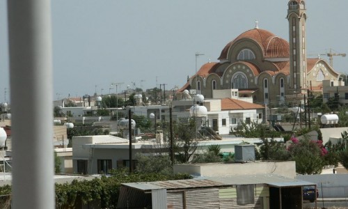
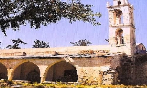
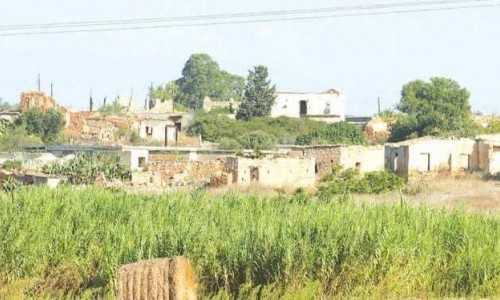
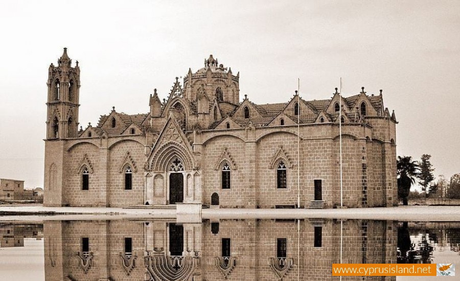
Lysi Village photos:

Lysi Village location map: