Kormakitis Village
Tucked between hills and the sea on Cyprus’s northwest coast, Kormakitis is a steadfast echo of island history. Once home to a vibrant Maronite community, it now remains the last sanctuary of a nearly extinguished language, culture, and way of life—a place both fragile and endlessly rooted.
Where History Meets Silence
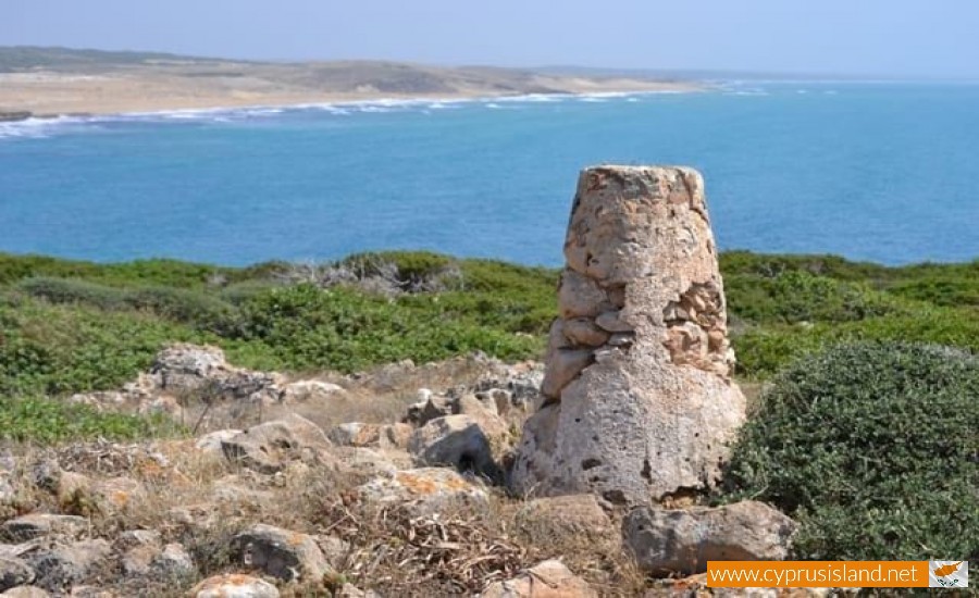
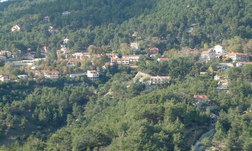
Kormakitis has held fast since medieval times—protective hills providing security, fertile land supporting farmers, and a coastline that inspired devotion. Over the centuries it was one of four Maronite villages on the island, where Maronite Arabic—known locally as Sanna—was nurtured across generations.
The mid-20th century upheavals changed everything. After conflict, most residents were displaced southward, abandoning homes and heritage. Only a few hundred—mostly elders—remained. Those who left continued to return on weekends, preserving homes and tradition, but the soul of the village dimmed, as young families couldn’t or didn’t stay permanently.
Sanna: A Language in Peril
Within Kormakitis, Sanna is not just a dialect—it is identity. Rooted in Syrian Arabic, with whispers of Aramaic and shaped by Greek language around it, it is unique in the world. As of only a few years ago, fewer than one thousand speakers remained—all in their 60s or older.
That Sanna survives at all is thanks to a few determined teachers, new schools, and a painstaking revival effort. But without young Maronite families moving back permanently, the language is in daily erosion.
Stones, Chapels, and Stories
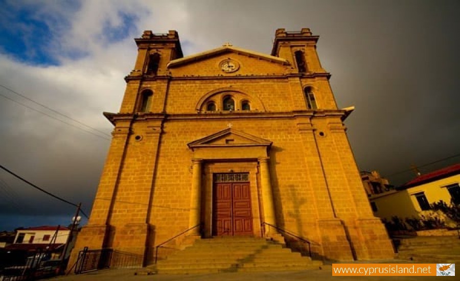
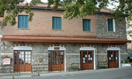
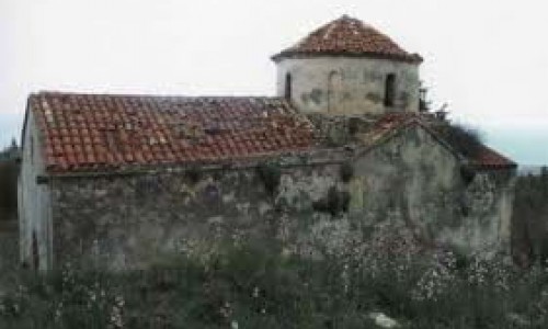
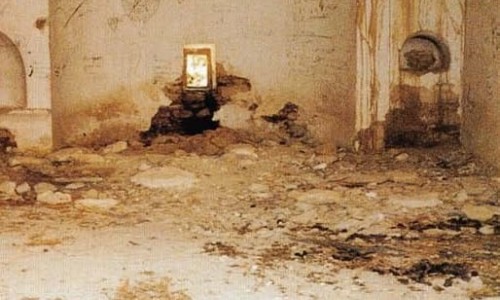
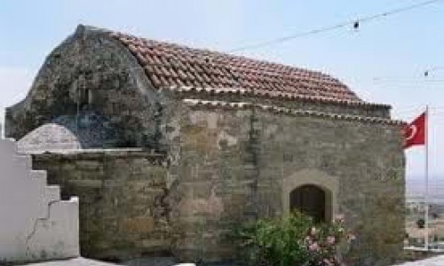
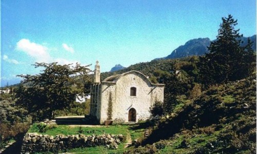
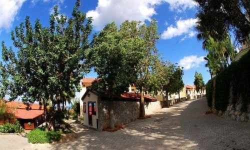
Walking through Kormakitis evokes a medieval village come to rest. Narrow lanes wind between low, stone homes; nests of vines drape over ochre walls; silent orchards surround the hillside. In the center, the sturdy Church of St. George, built in the early 20th century, watches over the square. Inside lie icons stretching back centuries and a simple Latin alphabet textbook—symbols of a people between tradition and survival.
Nearby chapels, scattered above and below the village, host annual processions and rituals—like the autumn feast of St. George by the sea, or masses before the olive harvest—each a tether between community and land.
A Village Held in Memory—and Renewal
Despite hardship, Kormakitis is not empty. Weekends swell its numbers to six or seven hundred, when descendants return to fix old homes, light candles, or share a meal under flowering oleander. In recent years, a modern visitor hub—the Kormakitis Centre for Cooperation—has opened, hosting cultural gatherings, youth camps, and environmental workshops, honoring the village not as a ghost but as a bridge between divides.
Here, architecture and family history interlace. A few elderly men play cards in the old kafenio. Church bells ring out midweek. A handful of children learn Sanna in the new bilingual school.
Who Should Visit—and Why
Kormakitis is not a beach destination nor a resort hotspot. It is a place for:
- Those honoring heritage—Maronite families visiting their ancestors’ land
- Cultural travelers drawn to living multilingual traditions
- Linguists and preservationists watching a rare language wither or bloom
- Photographers and writers inspired by light, silence, and weathered beauty
- Pilgrims and spiritual seekers in search of quiet chapel corridors or olive olfactory memory
Here, being present is the most meaningful thing one can do.
Visitor Tips
- Respect its pace: Paths are narrow, traffic is minimal, and conversation soft.
- Visit during a local festival—Easter or St. George’s Day bring villagers home.
- Learn a few words in Sanna—a greeting or phrase goes far.
- Bring light layers—the coast cools at evening, especially in spring or fall.
- Support preservation—donations, student camps, or a visit to the cooperation centre all help.
Kormakitis is a place of memory—of language, faith, belonging, and resistance. It threatens to fade, but its foundations remain surprisingly strong.
It is not a relic. It is breath, lived. Walk its paths, listen in the chapel, or share an afternoon coffee with someone who knows every stone—and the echo of every word once spoken through generations.