1 min read

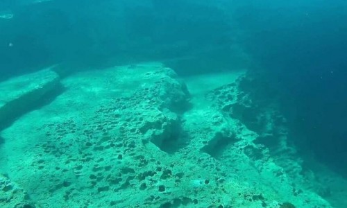
The Nemesis Shipwreck is located in Paralimni and more specifically 600 metres from the coast, near the Vrysoudia beach.

It was made in France in 1956 and was originally called Thalia. During all its years of operation it has worked as a bottom trawl. Its dimensions are 24.50 metres in length and 6.30 metres in width. The arrival of the ship in Cypriot waters occurred in 1987 and it was then registered as a Cypriot ship.

The shipwreck was used as a diving location in cooperation with a European Union project after many years.

The sinking of the ship occurred on the 20th of December 2013 in the sea of Paralimni at a depth of 25 metres.

Nemesis III Shipwreck video: 
Nemesis III Shipwreck location map: 

Near Nemesis III Shipwreck

Other places within a short drive, closest first.
Nearby Places and things to do (within 5 km radius)

Larnaca

Kionia - Drys Nature Trail

Location : Kionia – Macheras Monastery – Drys District : Larnaca – Nicosia Starting Point: Dirt road after the Kionia picnic site , towards the Kionia pea

Larnaca

Dyo Mouttes - Pavliades Nature Trail

Location: Kionia – Vavatsinia District: Larnaca Starting Point: Kionia – Vavatsinia Road (2 kilometres from the Kionia picnic site) Length: 3, 2 kilom

Nicosia

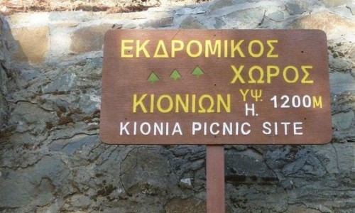
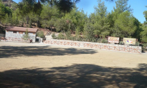
Kionia Picnic Site

The Kionia picnic site is located at the Kapedes-Machera Monastery road and 1km before the Monastery, left towards Kionia, 6km from the Macheras Monastery and 1

Nicosia

Charkokolymbos Lake

Charkokolymbos Lake is one of those quiet corners of Cyprus that feels like it belongs to the land in a very honest way.

Nicosia

Machairas National Forest Park

The Machairas National Forest Park is located in the area of Machairas in the Nicosia district. The aim of the park the protection and proper use of the prec

Nicosia

Mantra tou Kambiou Picnic Site

The picnic site of Mantra tou Kambiou is located at the Kapedes-Machera Monastery road, 5km from the Kapedes village in the Nicosia district. Altitude: 660 m

Pages