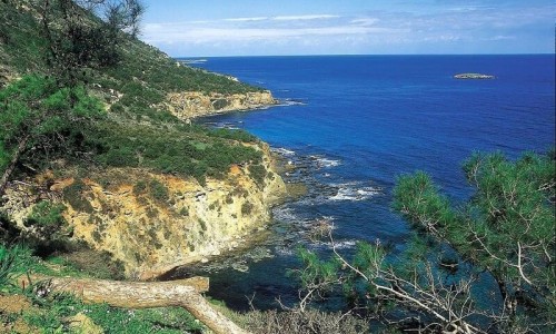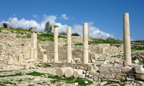


Sotira is a province in the Ammochostos district. Sotira is a beach province and has one blue flag for its beach at Agia Thekla. Sotira is names “Byzantine province” as it is famous for its byzantine and metabyzantine icons. According to the inventory in 2011 the number of residents has increased over the last few years and was at 5.589 residents.
Location
Sotira is located about 10 kilometres south of the town of Ammmochostos.
Geography
Sotira is built at an average altitude of 75 metres above the sea level. The area is curvy and it is tilted towards the sea.
Fauna and Flora
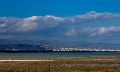
A part of the Paralimni Lake belongs to Sotira. This means that there is a large fauna and flora and that is must be protected from various international organisations. There is a water snake which exists in the lake and is protected by the Cypriot government.
Occupations
The main occupations of the Sotira residents are agriculture and livestock. Sotira is actually well known for its great kolokasi cultivation in Cyprus. Since 2009, a festival takes place every year which is dedicated to the kolokasi, usually in October. During the last few years a small industrial development can be noticed, which is expected to have even more development over the next years after the transition of Sotira into a municipality.
History
Name
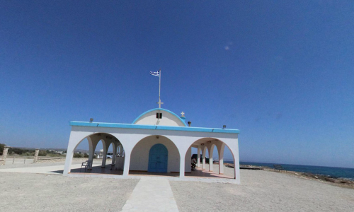
Some myths concerning the creation of the village state that an ancient village once existed near the area of Agia thekla. After a pirate raid, the village was forced to move towards a safer zone. They moved towards the area where Sotira is located today and they have the village this name because they were saved by the pirates. Another local version stated that the name came from the church of the Metamorphosi tou Sotiros which was built in the 12th century by the Byzantines.
Residents
The residents of Sotira over the last century can be given as:
1946: 1.037
1960: 1.515
1982: 3.015
1992: 3.553
2001: 4.258
2011: 5.589
Local government
The Cyprus government decided to turn Sotira into a municipality after a demand of the Local Village Board. Therefore on the 3rd of July 2011, the residents of Sotira voted and with a percentage of 90.35% they said yes. The transition of Sotira into a municipality occurred on the 1st of January 2012. The first elected mayor of Sotira was Georgios Takkas.
Beach Area
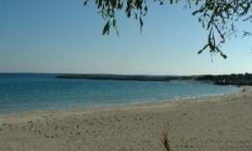
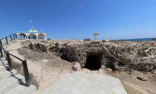
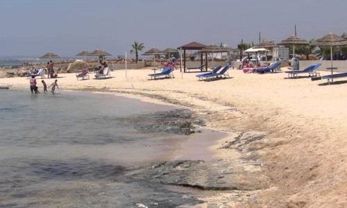
The beach are of Agia Thekla is only about 5 kilometres way from Agia Napa , the most famous tourist resort in Cyprus and possibly Europe. Also it is 8 kilometres south of Sotira and 50 kilometres east of the Larnaca airport. Agia Thekla has developed due to the fast development in the area of private property which Cyprus received when it entered the European Union in 2004. During the last 6 years Agia Thekla has had a development in concern to apartment blocks and villas which were developed and after gaining a light blue flag for the Agia Thekla beach area.
Near Sotira Village, Cyprus
Other places within a short drive, closest first.