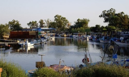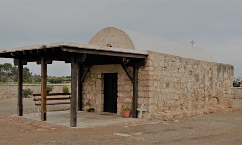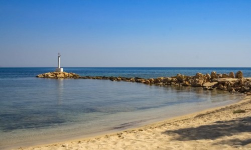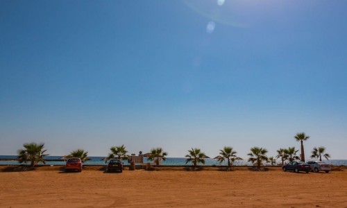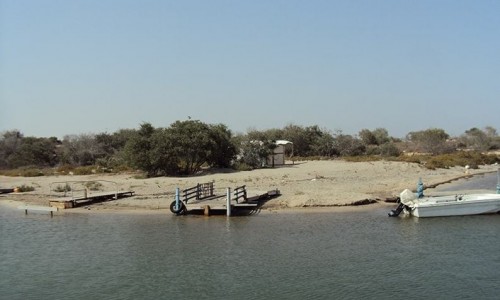


Ormideia is a community at the southeast part of Cyprus and is located in the district of Larnaca. It has a population of about 3.960 residents according to the inventory of 2001. It borders with Xylotimbou, Achna, Xylofagou, Avgorou and Dekilia where the British bases are located. It took its name from the bays, Greek work being ormous which are at its coast. The village is located in a valley.
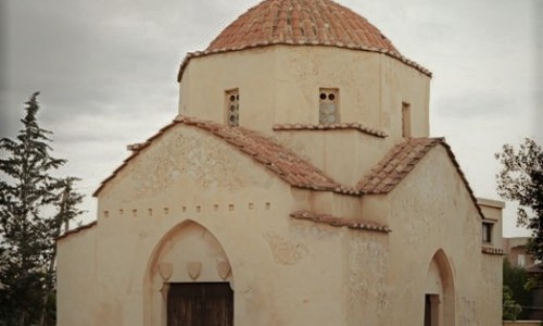
The church of Saint Konstantinou Alamanou and Saint Anargiron Kosma and Damianou is located at the centre of the village. There were two small churches and in 1901 a larger one was built in its place. Also there was a chapel where Saint Konstaninos Alamanos lived and holly water ran from the spring located there. The saints are celebrated on the first of July. In Ormideia there are two primary schools. The A ‘Primary School is located at an elevation and it was built in 1935. The B’ Primary School is also built at an elevation however it was built in 1991. When the students complete Primary School they go to the Regional Gymnasium of Xylotimbou.
Near Ormideia Village, Cyprus
Other places within a short drive, closest first.