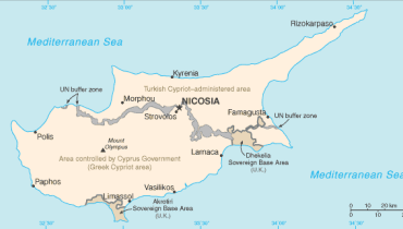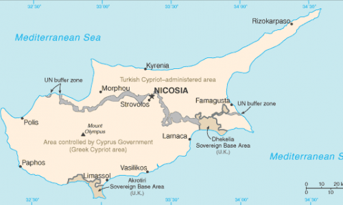


Cyprus is not a large island but it is a startlingly mountainous one. Two ranges run roughly parallel across it, separated by a wide plain, and between them they determine almost everything else: where the rain falls, where the forests grow, where the villages were built and what is planted around them. This site documents the island’s principal ranges and its central plain, listed below.
Troodos
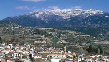
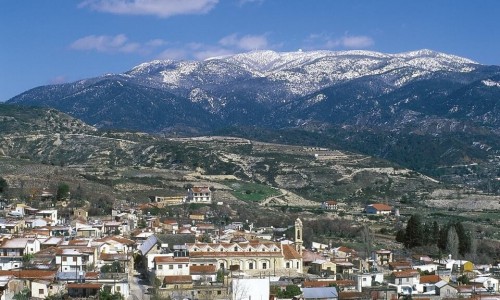
The Troodos Mountain Range is the largest in Cyprus and sits at the centre of the island, reaching west almost to the coast. Mount Olympus is its highest peak and the highest point in the country at 1,952 metres — high enough to hold snow through part of the winter and to stay markedly cooler than the coast in August.
Nearly everything the island is known for inland is here: the painted churches, the monasteries, the wine villages, the pine forest, and the great majority of the nature trails.
Pentadaktylos
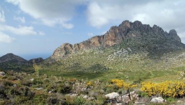
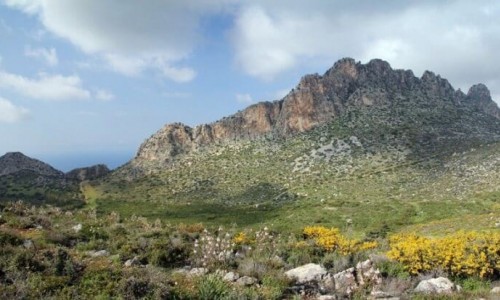
The Pentadaktylos, or Kyrenia range, runs along the northern edge of the island above the Mesaoria plain as a jagged limestone ridge unmistakable from a long way off. The name means five fingers. It is narrower and lower than the Troodos but far more dramatic in outline, and it carries the three great mountain castles — Kantara, Buffavento and St Hilarion — strung along its peaks. It has been under occupation since 1974.
The Mesaoria plain
Between the two ranges lies the Mesaoria, the flat agricultural heart of Cyprus, running from Morphou Bay in the west to Famagusta Bay in the east with Nicosia at its centre. It averages around 100 metres above sea level and rises to about 325. This is the island’s grain country, briefly and genuinely green in spring and burnt to gold by June.
All the mountains on Cyprus Island
3 mountains documented on this site. 3 of them are plotted on Cyprus in 3D.
- Famagusta
Plain of Mesaoria
- Kyrenia
Pentadaktylos Mountain
- Limassol
Troodos Mountain Range