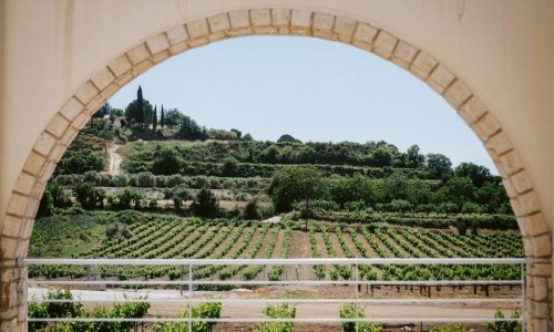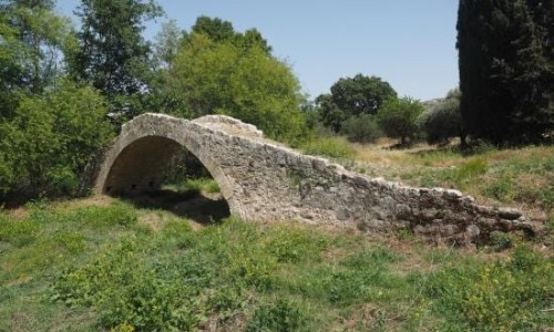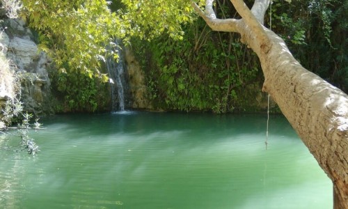


The Ezousa River is located in the Paphos district. It is the sixth largest river in length on the island of Cyprus, with a length of 41 kilometres. The starting point of the river is located at a point that is higher than the Tripylos slopes in the Troodos Mountain range and east of the Stavro tis tis Psokas Forest Station. The River then covers a distance of 23 kilometres and finally pours into the Kannaviou Dam In the case that the river overflows, it then continues its course and pours into the sea area of the Episkopi village in the Paphos district. Unlike other rivers on the island Ezousa River never stops flowing even during the summer months.
The surround area of the Ezousa River has created the Ezousa Valley over the years. The valley belongs to the programme “Natura 2000” and is also protected by the Forest department. Visitors can access the valley by car or on foot as it is about 12 kilometres from Stavro tis Psokas. The area is surrounded by a forest of pine trees, alder trees and various other types of plants. Visitors can then stop of food or relax at the Agia Picnic site.
Near Ezousa River, Cyprus
Other places within a short drive, closest first.