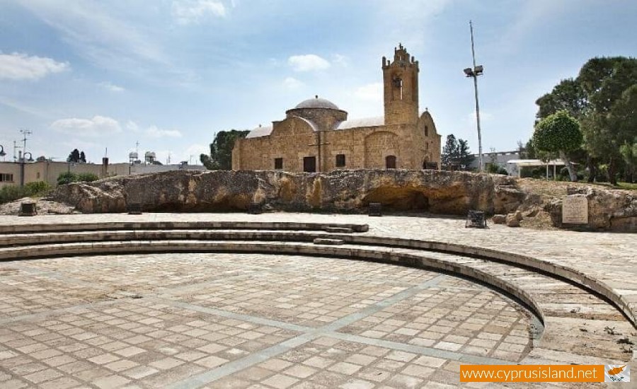
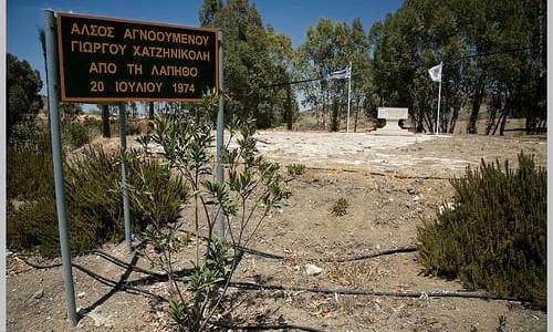
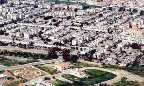
Agios Dometios is a suburb west of Nicosia and a municipality of Cyprus since 1986. It has an extent of 12 square kilometres and is located at an altitude of 160 metres. The largest part of the municipality, 4/5 are under the Turkish Occupation since 1974.

It is located 3 km from Nicosia and is crossed by the streams Siemma and Jiinar, riverines of the Pedieos River. Another large parish of the municipality is the parish of Agios Pavlos. It is mentioned for the first time during the Frankish rule, as a field.

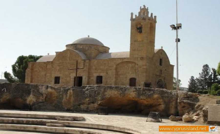
Until recently it was a small village with two churches, of Agiou Georgiou and Agiou Dometiou. It took its name from Agios Dometios the Persian. In Agios Dometios there is a border to the occupied Turkish side of Cyprus which was opened to the public in 2004.

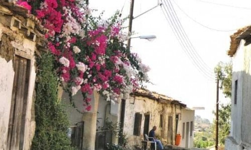
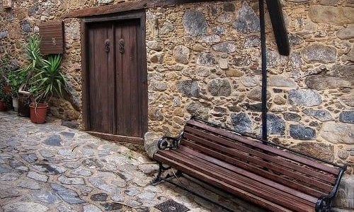
Agios Dometios photos: 
Agios Dometios location map: 

Nearby Places and things to do (within 5 km radius)

Makronissos Necropolis

The Makronissos Necropolis forms a remainder of the Hellenistic and Roman period, proving the existence of an ancient settlement in the area...

Makronissos Tombs

One of the most interesting discoveries in the west part of Ayia Napa, is the Makronissos Tomb area. Between November 1989 and January 1990,...

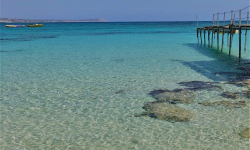
Makronissos Beach

Tucked away on the southwestern edge of Ayia Napa, Makronissos Beach is one of Cyprus’s most captivating coastal gems. With its powdery go...

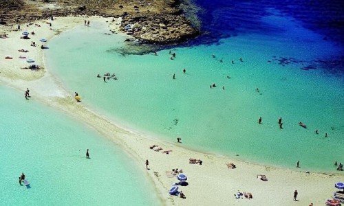
Nissi Beach

Nissi Beach, located on the beautiful island of Cyprus, is a paradise for beach lovers and sun worshippers. With its crystal-clear waters, g...

Ayia Napa Marina

At the heart of Cyprus' southeastern coastline, in the vivacious town of Ayia Napa, sits an iconic nautical landmark - the Ayia Napa Marina....

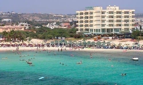
Sandy bay beach

Sandy bay beach is located in Ayia Napa near the popular Nissi bay. The beach has white sands and the water is crystal clear and you can ...

Pages