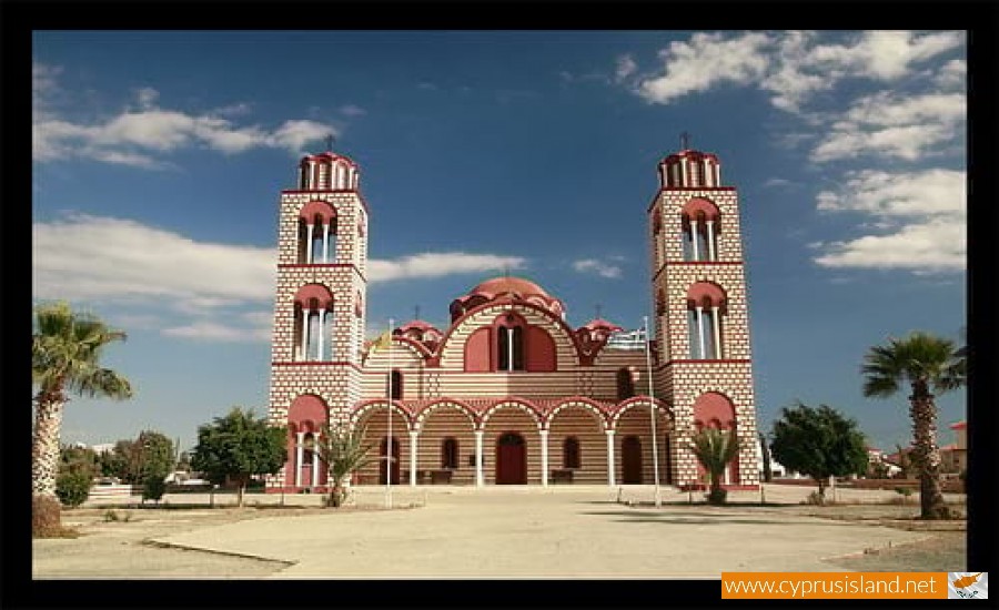
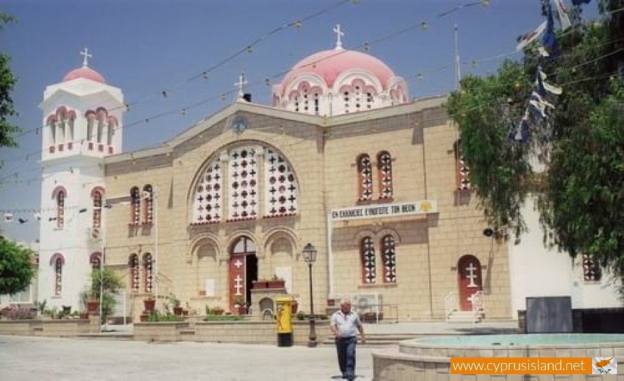
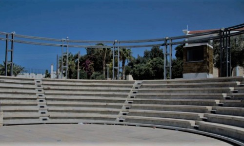
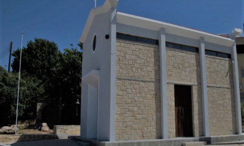
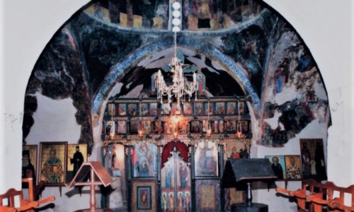
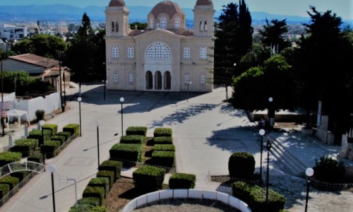
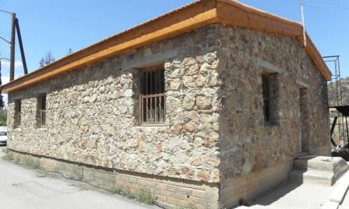
Aradippou is a municipality of Cyprus in the Laranaca district. It has a population of 11,448 and an extent of 42,982 square kilometres. It was officially recognised as a municipality on the 23rd of February 1986 and is located northeast of Larnaca.

At the town limits there is the Rizaelia Forest. The protector of the municipality is Saint Loukas. The residents of Aradippou were traditionally farmers, stockmen and many of them landowners. Aradippou is in the area of the ancient Kitio, where buildings of the Hellenistic period have been discovered. During the medieval times the Frank leaders had a holiday house in Aradippou which was destroyed by a raid by the Mamluks in 1425.

In 1974 with the inflow of refugees from the Turkish invasion, the population doubled. Its name comes from the mythical King Aradippos who was its resident.

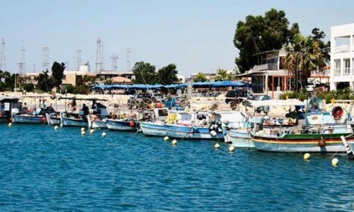
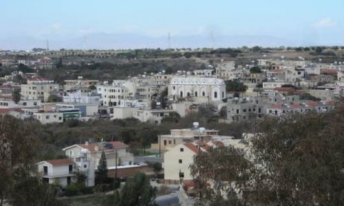
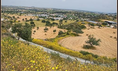
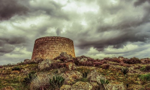
Aradippou photos: 
Aradippou video: 
Aradippou location map: 

Nearby Places and things to do (within 5 km radius)

Sea Caves in Peyia, Paphos

Tucked away on the sun-drenched coastline of southwestern Cyprus lies one of the island’s most captivating natural wonders — the Peyia S...

Manijin island diving site

The Manijin island diving site is a very popular destination for divers and is located in the Manijin Island which is very close to the Peyi...

Edro III Shipwreck

The Edro III Shipwreck story began in 2011 and in particularly late on the night of the 7th of October with the flag of Sierra Leone, the pr...

Faraggi tou Avaka ( Avakas Gorge) Nature Trail

Location:  Agios Georgios -  Peyia District: Paphos Starting Point: Agiou Georgios - Peyia – Lara Beach Road. About 3...

Agios Georgios Harbour

The Agios Georgios Harbour is a small  harbour located in the area of  Peyia  on the west coast of Cyprus. The harbour is ...

Agios Georgios Pegeias Fishing Shelter

Perched on the western coast of Cyprus, the Agios Georgios Pegeias Fishing Shelter is steeped in legends, history, and maritime traditions. ...

Pages