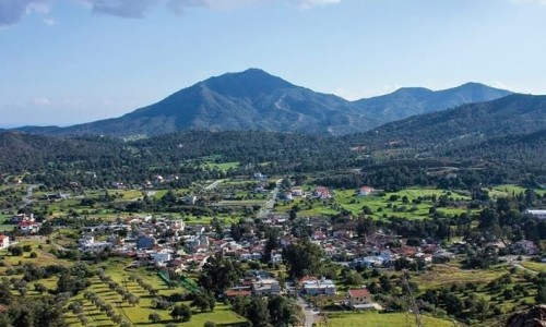
Xylofagou Village
The Xylofagou village is located at the southeast point of Cyprus, about three kilometres from the Pyla Cape at a low plateau.
It is one of the Kokkinochoria and it belongs to the district of Larnaca geographically. The villages neighbours with the other villages of Ormideia, Liopetri and Avgorou.
According to the inventory in 2011 it has 6,231 residents and is one of the largest communities in Cyprus. The population of the village is Greek and it just exceeds the existence of 200 years. Some residents moved in order to save themselves from the Turks. Some others also moved from Kalavasos, Livadia, Ormideia, Mytilini and Kranidi.
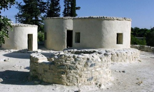
The first residents of the village were shepherds and there are various reasons for which they inhabited the village. To begin with the area was a vast pasture next to the forest and the rocky area. The village was uninhabited at the time so disruptions from Turks were no that frequent. Another reason was that the village cannot be seen from the sea and therefore the villagers were saved by pirates who raided the coast. The final reason is that there was water in wells which they used for drinking. Today’s village is located in the position of Pylidoriou or another settlement which was abandoned.
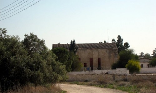
Towards the northeast of the village at a distance of about 50 metres is the medieval construction known was the Pyrgos tis Rigenas (Tower of Rigena). Therefore a feud must have been somewhere around the area during the ruling of the Franks or the Venetians. Next to the Tower was a wide well from which the villagers got water and then watered the fields. A part of the well exists today.
None of the residents today know how the tower got its name, which means that the first residents found the area completely abandoned. On a map that was published in 1573 in Amvesa by Abraham Ortelius the village is marked in the same position as today, but under the name of Filofuo. Due to the fact that many villages are marked with worn out names on maps of that era, we can assume that Filofuo is today’s Xylofagou.