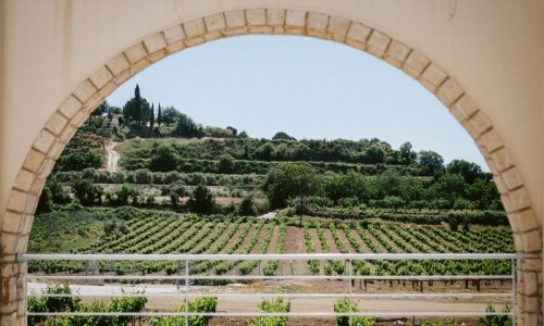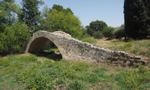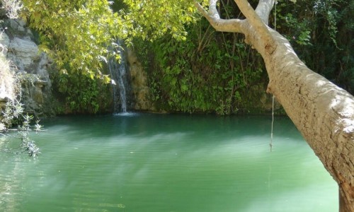


Klarios River starts from the northeast slopes of the Troodos Mountain Range and pours into the occupied bay of Morphou. It has a length of 24,750 metres creating the unique valley of Solea which is rich in vegetation and fruit trees. Along the length of the river there are manmade channels from which the water is driven towards the villages of the valley.
Klarios River is divided into three smaller rivers in a location between Old Kakopetria and the new community of Kakopetria in the Nicosia district. The first river is not an important source of water, however the other two Karkotis and Garillis are very important as they have significant contribution towards the volume that Klarios transfers.
Majestic pine, plane, alder trees surround the area and fill the location with greenery. The continuous flow of the river is used in various fish farms for sweet water trout breeding. The fish that is bred at the farms can be tasted at one of the local restaurants in the area.
Near Klarios River
Other places within a short drive, closest first.