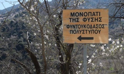
Teisia tis Madaris Nature Trail
Location: Chandria - Polistypou
District: Nicosia
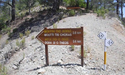
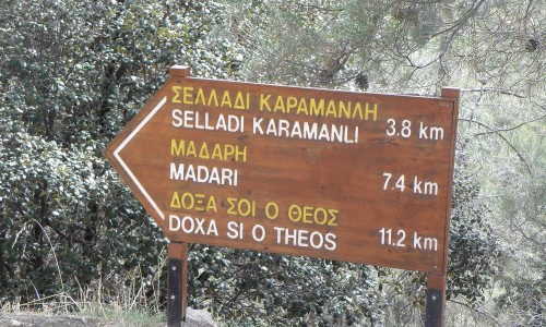
Starting Point: Near the Madaris Fire lookout Station, near the point where the Doxasi o Theos – Madari Nature Trail ends. Access to the starting point is available by car on the Chandrion – Polistypou Road with a direction towards the Adelfoi peak which located at a distance of 3 kilometres. The road is paved until the point where the nature trail follows the dirt road for 800 metres until the starting point.
Length: 3 kilometres
Time: 1, 5 hours hiking
Difficulty: 2
Points of Interest:
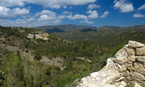
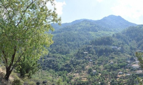
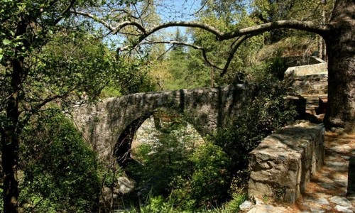
Tall and impressive cliffs along the length of the nature trail. The trail passes through the area with interesting geology. There is also an excellent view towards the Valley of Mesaoria and the Morphou Bay. It is connected with the nature trails Madari – Selladi tou Karamanli.
Rules of conduct for Visitors
Visitors of nature trails sites should follow some basic rules of conduct to ensure the least possible harm to the environment but also to ensure the comfort of other guests.
The most important of these rules are the following:
- Keep the area clean. Collect all the rubbish that have emerged and put them in bins. If for any reason there are no bins or if it is full, then take your trash with you. Do not leave plastic bags outside, because they are usually scattered by stray dogs, foxes etc.
- Do not make unnecessary noises, respect the rights of the others for peace and quiet.
- Cutting plants, tree bark harassing nests, damaging the environment are banned by the forestry legislation.
- Park your car in parking lots.
- Use the water with caution. Don't waste it.
- Solicit other guests to obey by the basic rules of conduct.
- If you notice a fire, immediately call the number 1407 (24 hours, toll-free)