1 min read

Agios Athanasios is a suburb in Limassol and an independent municipality in Cyprus since 1986. It is located 3 km from Limassol and owes its name to the Saint Athanasios.

Moreover, Agios Athanasios has a population of about 15,000 residents. Villages of the municipality are Karfkalla, Psoumas, Kiparisies and others. Agios Athanasios has a small history. It began as a small farm settlement and it evolved residentially with the refugees after the Turkish invasion in 1974.

It is estimated that 60.000 refugees inhabited Agio Athanasios. Until then, the residents were only involved with agriculture and livestock. Today there are many hotels as well as the industrial area in the municipality.

Agios Athanasios location map: 

Near Agios Athanasios

Other places within a short drive, closest first.
Nearby Places and things to do (within 5 km radius)

Larnaca

Kionia - Drys Nature Trail

Location : Kionia – Macheras Monastery – Drys District : Larnaca – Nicosia Starting Point: Dirt road after the Kionia picnic site , towards the Kionia pea

Larnaca

Dyo Mouttes - Pavliades Nature Trail

Location: Kionia – Vavatsinia District: Larnaca Starting Point: Kionia – Vavatsinia Road (2 kilometres from the Kionia picnic site) Length: 3, 2 kilom

Nicosia

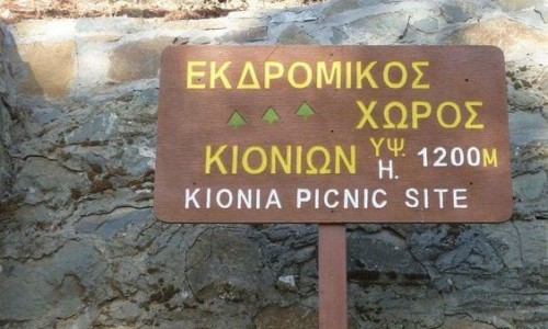
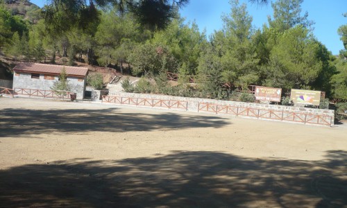
Kionia Picnic Site

The Kionia picnic site is located at the Kapedes-Machera Monastery road and 1km before the Monastery, left towards Kionia, 6km from the Macheras Monastery and 1

Nicosia

Charkokolymbos Lake

Charkokolymbos Lake is one of those quiet corners of Cyprus that feels like it belongs to the land in a very honest way.

Nicosia

Machairas National Forest Park

The Machairas National Forest Park is located in the area of Machairas in the Nicosia district. The aim of the park the protection and proper use of the prec

Nicosia

Mantra tou Kambiou Picnic Site

The picnic site of Mantra tou Kambiou is located at the Kapedes-Machera Monastery road, 5km from the Kapedes village in the Nicosia district. Altitude: 660 m

Pages