Agios Dometios is a suburb west of Nicosia and a municipality of Cyprus since 1986. It has an extent of 12 square kilometres and is located at an altitude of 160 metres. The largest part of the municipality, 4/5 are under the Turkish Occupation since 1974.

It is located 3 km from Nicosia and is crossed by the streams Siemma and Jiinar, riverines of the Pedieos River. Another large parish of the municipality is the parish of Agios Pavlos. It is mentioned for the first time during the Frankish rule, as a field.

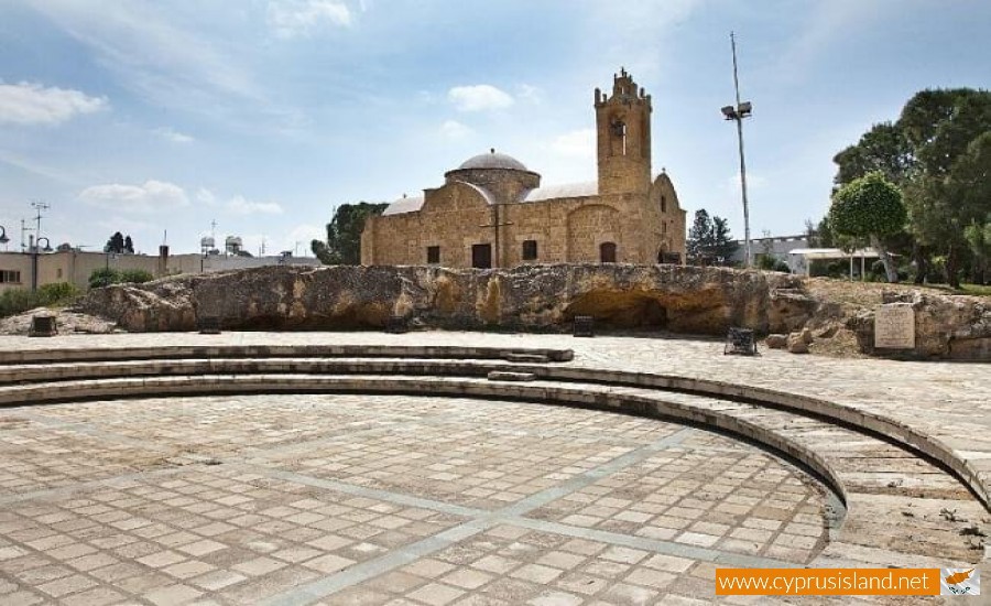
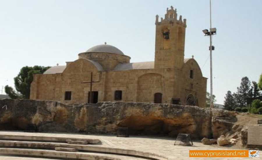
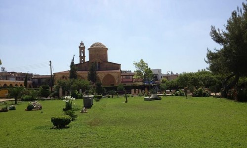
Until recently it was a small village with two churches, of Agiou Georgiou and Agiou Dometiou. It took its name from Agios Dometios the Persian. In Agios Dometios there is a border to the occupied Turkish side of Cyprus which was opened to the public in 2004.

Agios Dometios photos: 
Agios Dometios location map: 

Nearby Places and things to do (within 5 km radius)

Galata

Galata is a village which is located 60 kilometres west of Nicosia at the beautiful valley of Solia. It has an altitude of 620 metres a...

Kakopetria Village

Nestled in the heart of the Troodos Mountains, at an altitude of around 667 meters, lies the enchanting village of Kakopetria—a serene esc...

Folklore Art Museum, Galata

The Folklore Art Museum is situated in the village of Galata in the Nicosia district. It was originally set up during the summer of 1990 fro...

Panagia Podithou Church - Galata

Panagia Podithou Church is situated near the village of Galata, in the mountains of the Troodos range. The Church of Panagia Podithou as ...

Agios Nikolaos tis Stegis Church - Kakopetria

Agios Nikolaos tis Stegis Church or Saint Nicholas of the Roof is situated in the village of Kakopetria in the Troodos mountain range, in th...

Kourdali - Limeria Nature Trail

Location: Kourdali Village District: Nicosia Starting Point: Kourdali Village. At the location Selladi tis Straorouthkias there is ac...

Pages