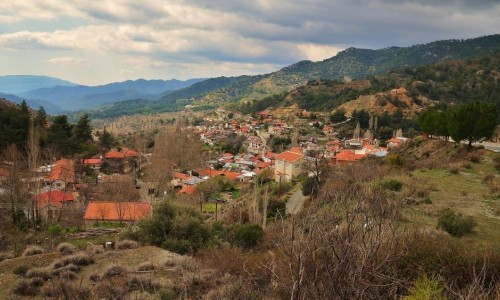
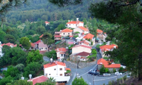
Trimiklini Village, Limassol
Trimiklini Village is situated 24 kilometres northwest of the town of Limassol. More specifically, it is built at an altitude of 545 metres above the surface of the sea. Trimiklini is located on the main road of Limassol-Platres-Troodos, which links the town of Limassol and all the mountain resorts of Troodos. It borders to the south with Lania , to the west with Sylikou and Kouka , to the north with Moniatis , to the northeast with Pelendri and to the east with Agio Mama.
Natural Environment
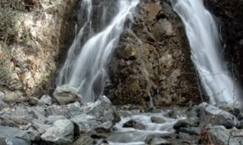
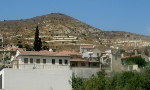
Continuous high mountain peaks surround Trimiklini, with the highest mountain being Zalaka. To the south of the community, Kouris River passes through from a large gorge.
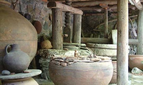
Many vineyards (wine grapes and table varieties), almond trees, olive trees and fruit trees are grown in the village. The largest production comes from peaches, nectarines, pears and prunes. The wine as well as the zivania made by the residents in a traditional way is well known.
The plantations in the village are watered by the Trimiklini Dam, with a capacity of 340000 cubic metres. The dam is full all year round creating a lake, which forms a habitat for various birds during the summer months.
Name
The village of Trimiklini existed during the medieval era. It is also marked on maps of the Venetian period as Trimichini. According to tradition, there are three versions about the name of the village.
- The name originated from the warm weather that existed during antiquity, as the village had a stable climate during the summer as well as the winter months. In particular, many patients from all over the island were sent to the village due to the stable climate.
- Another version stated that the name comes from the words warm fountain and is linked to a spring situated in the village, whose water is cool in the summer and warm during the winter. This spring is located in the village and is known as the Spring of Zinonas. For the residents of the village, this version seems to be the most prevailing.
- The name of the village is said to have originated from the plant Trimitha , from which other locations have also been named by. The initial name must have been Trimithini , which means an area filled with terebinth trees. This opinion also agrees with the medieval name of the village that exists on the maps as Trimichini.
Population
According to the population inventory that took place in Cyprus, the village population met many increases and decreases over the year. Until the 1970’s the population in the community increased. A decrease followed, while an increase occurred during the last inventory in 2011.
Points of Interest
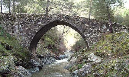
There is an ancient bridge on the banks of the River Kourris, which was built during the Venetian period. The bridge is made of rocks from the riverbank and is made up of three continuous arches. During the Christian period, Agia Eleni passed over the bridge on her way from the Stavrovouni Monastery while transporting the Holy Cross and rope which they had tight Jesus onto the cross, to the ancient monastery of Stavros in the neighbouring villages of Kouka and Omodos.
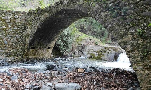
Additionally, there is a unique double bridge located at the borders of the villages Trimiklini –Moniati. The Trimiklini Bridge was constructed in 1901 and was used by carriages. In 1917, the bridge was upgraded in order to allow motorised vehicles to cross over the bridge as well.
An important building in the village is the first primary school, which was built in 1926. It is made out of stone in the area. The primary school is part of the cultural heritage of Trimiklini and is the property of the community. It has also been restored.
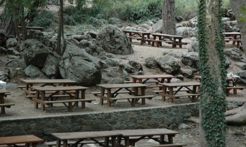
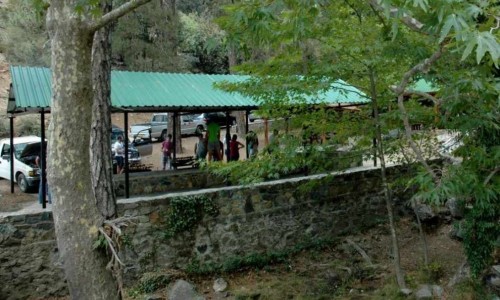
The village of Trimiklini is also known for its market that is open every day next to the Limassol- Troodos road. Many traditional items are for sale including zivania, wine , soutzoukos , traditional spoon sweets and other items produced by the residents of the village.