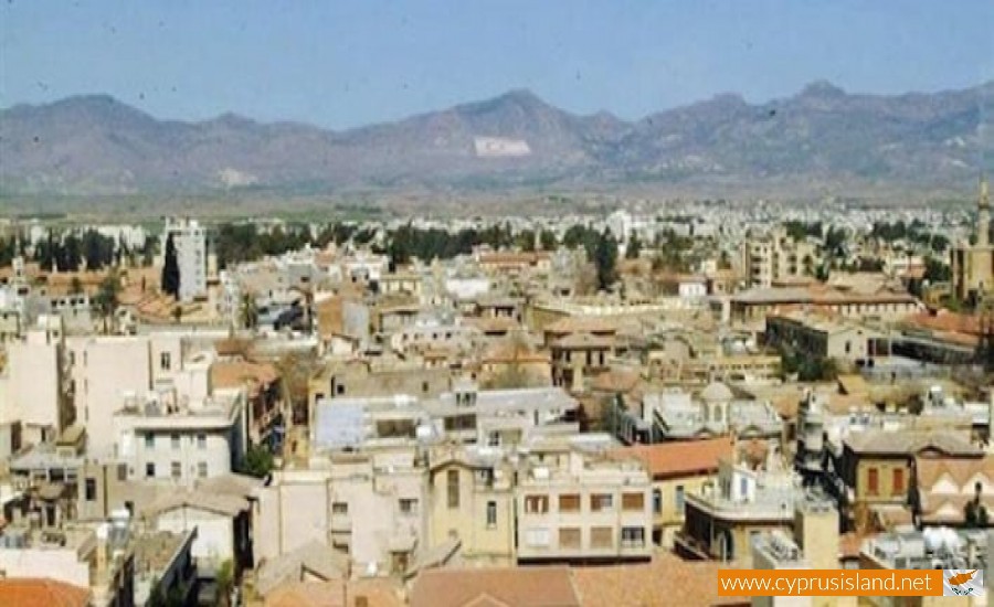
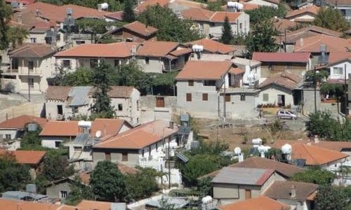
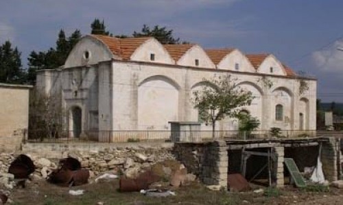
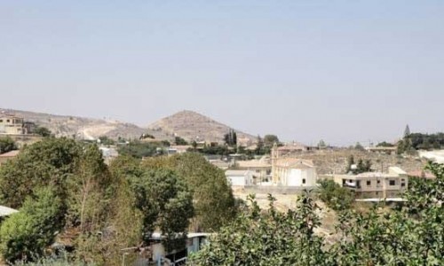
Hamit Mandres is a mixed Turkish Cypriot village – suburb in the occupied part of the Nicosia district of Cyprus.

It borders with the communities of Trachona, Omorfita, the industrial area of the occupied part of Nicosia and the village Mia Milia.

From the 1st of September 2008 the community council was cancelled and the village was officially a part of the unrecognised Turkish municipality of the occupied Nicosia.

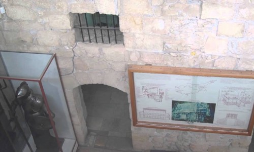
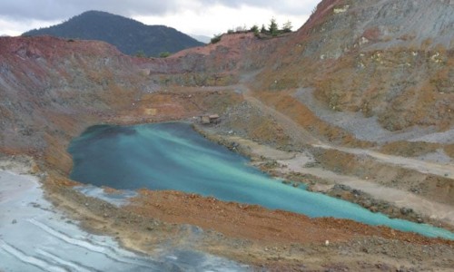
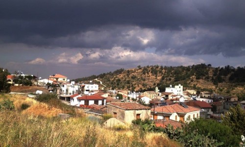
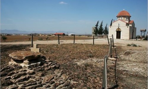
Hamit Mandres Village photos: 
Hamit Mandres Village location map: 

Nearby Places and things to do (within 5 km radius)

Pervolia Village

Pervolia is a beautiful village, which is located at the south coast of Cyprus, at a distance of about 16 kilometres from the town of . It i...

Faros Beach - Larnaca

Faros Beach, also known as Faros Blue Flag Beach, is a popular coastal destination located in the city of Larnaca, Cyprus. It is situated in...

Kiti Village

Located in the heart of Cyprus, Kiti village is a hidden gem that offers a charming blend of tradition, history, and warm hospitality. Situa...

Panagia Angeloktisti Church

Panagia Angeloktisti Church is located in the village of Kiti, in Larnaca. The church, dates back to the 11th century and was erected ove...

Kition Archaeological Site

The Archaeological site of Kition, which includes the two locations Kathari and Pamboula, is located in the modern town of Larnaca. From ...

Meneou Beach

Meneou beach is located in the village Meneou, in the Larnaca district. It is a small peaceful beach with bars that have snacks and soft dri...