Information about Cyprus

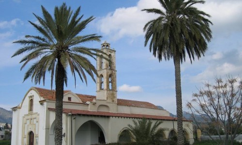
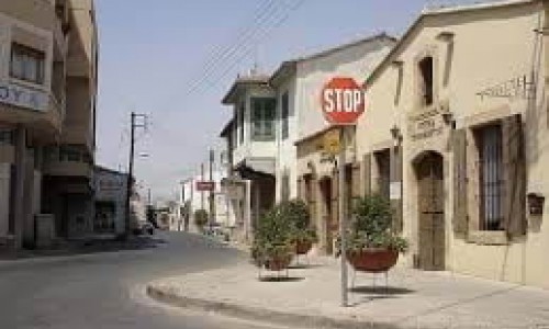
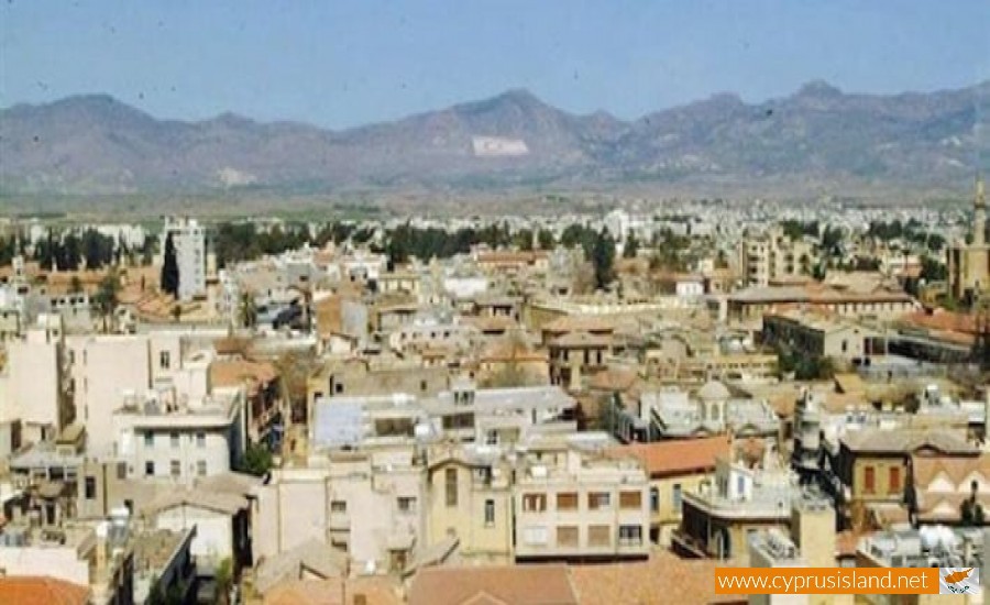
Hamit Mandres Village
Hamit Mandres is a mixed Turkish Cypriot village – suburb in the occupied part of the Nicosia district of Cyprus.
It borders with the communities of Trachona, Omorfita, the industrial area of the occupied part of Nicosia and the village Mia Milia.
From the 1st of September 2008 the community council was cancelled and the village was officially a part of the unrecognised Turkish municipality of the occupied Nicosia.
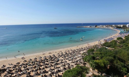
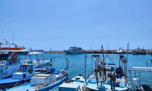
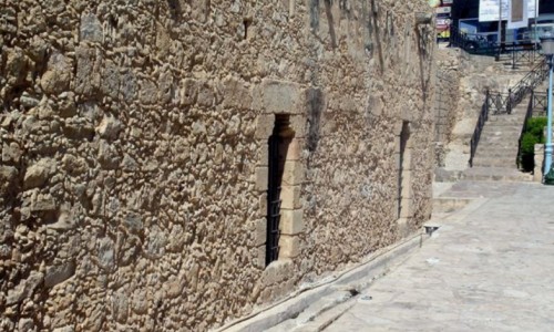
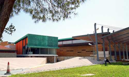
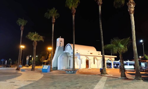
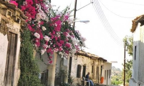
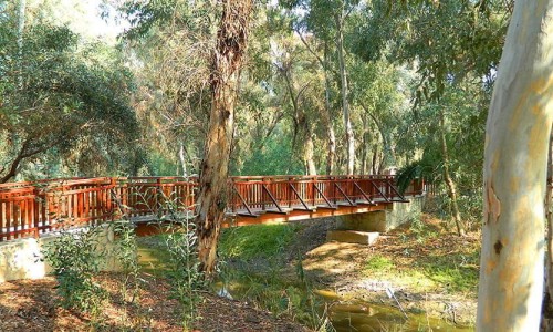
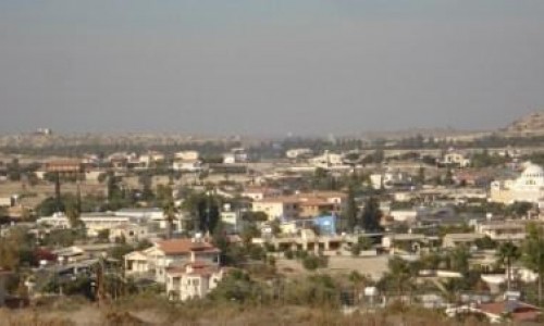
Hamit Mandres Village photos:
Hamit Mandres Village location map: