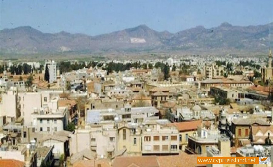
Hamit Mandres is a mixed Turkish Cypriot village – suburb in the occupied part of the Nicosia district of Cyprus.

It borders with the communities of Trachona, Omorfita, the industrial area of the occupied part of Nicosia and the village Mia Milia.

From the 1st of September 2008 the community council was cancelled and the village was officially a part of the unrecognised Turkish municipality of the occupied Nicosia.

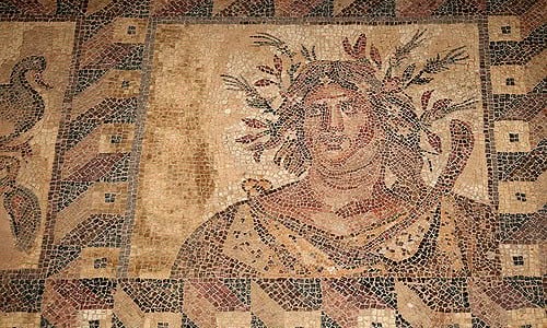
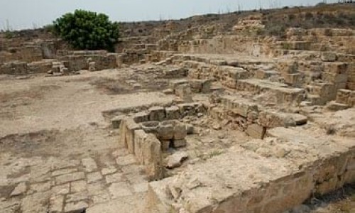
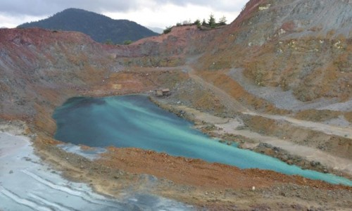
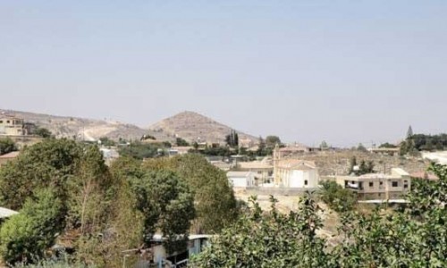
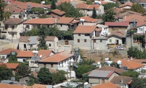
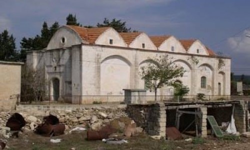
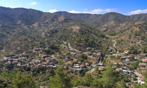
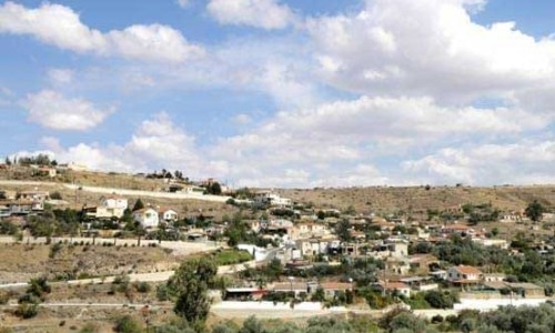
Hamit Mandres Village photos: 
Hamit Mandres Village location map: 

Nearby Places and things to do (within 5 km radius)

Vrysoudia Beach, Paralimni

Vrysoudia Beach is located in the area of Protaras in Paralimni. More specifically, it is situated between Louma Beach and Ayia Triada Beach...

Paralimni Fishing Shelter

Located in the southeastern part of Cyprus, the Paralimni Fishing Shelter stands as a calm and captivating spot that serves as a testament t...

Nemesis III Shipwreck

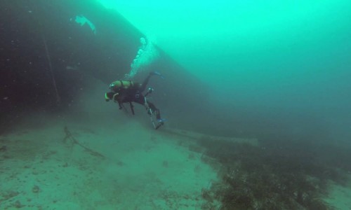
The Nemesis Shipwreck is located in Paralimni and more specifically 600 metres from the coast, near the Vrysoudia beach. It was made in F...

Agios Nikolaos Chapel, Protaras

A Spiritual Beacon by the Sea Perched elegantly on the sun-kissed shores of Protaras, Agios Nikolaos stands as a symbol of faith and beauty,...

Kalamies Beach

Nestled along the picturesque shores of Protaras, Cyprus, Kalamies Beach entices visitors with its pristine beauty and tranquil ambiance. Lo...

Louma beach

Louma beach is located in Paralimni , near Protaras area and more specifically near Pernera beach. It is a beautiful beach with thin sand an...

Pages