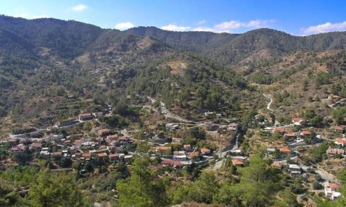
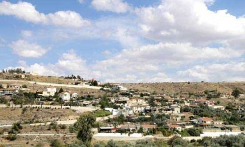
Agios Dometios is a suburb west of Nicosia and a municipality of Cyprus since 1986. It has an extent of 12 square kilometres and is located at an altitude of 160 metres. The largest part of the municipality, 4/5 are under the Turkish Occupation since 1974.

It is located 3 km from Nicosia and is crossed by the streams Siemma and Jiinar, riverines of the Pedieos River. Another large parish of the municipality is the parish of Agios Pavlos. It is mentioned for the first time during the Frankish rule, as a field.

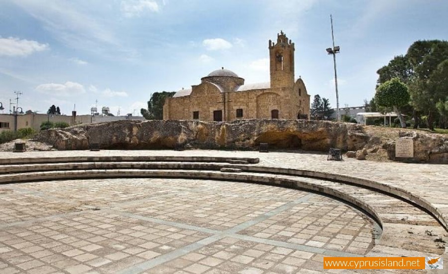
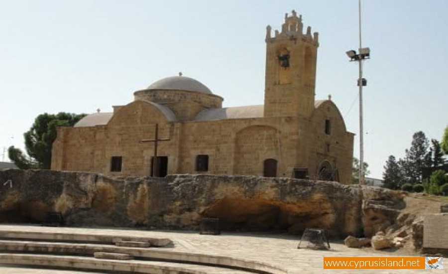
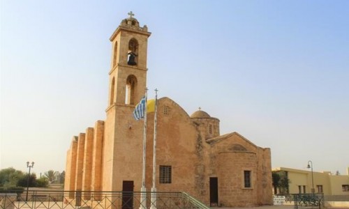
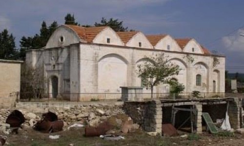
Until recently it was a small village with two churches, of Agiou Georgiou and Agiou Dometiou. It took its name from Agios Dometios the Persian. In Agios Dometios there is a border to the occupied Turkish side of Cyprus which was opened to the public in 2004.

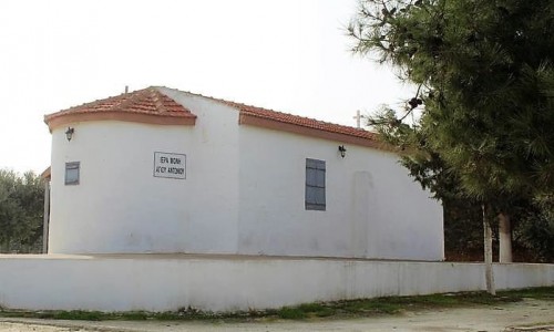
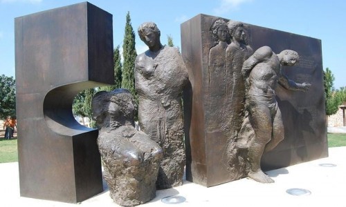
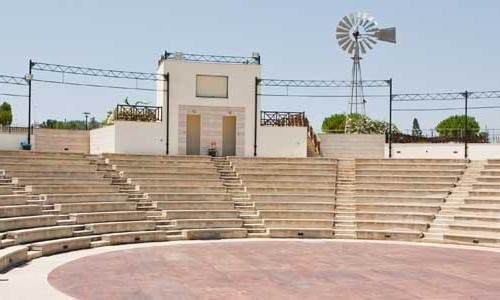
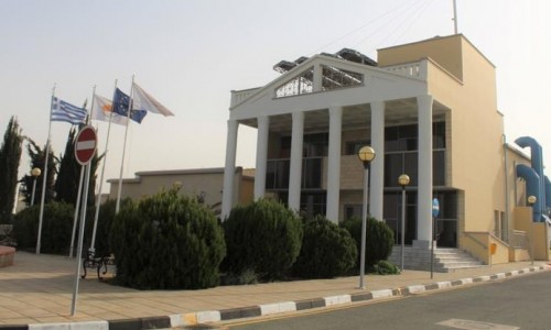
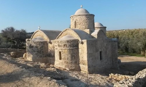
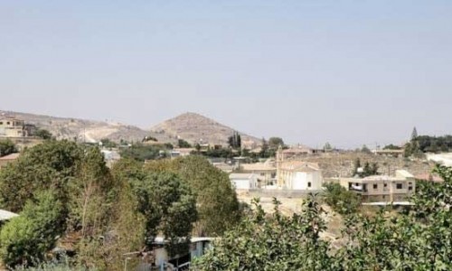
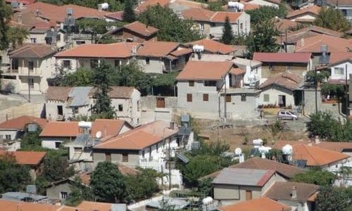
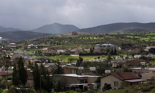
Agios Dometios photos: 
Agios Dometios location map: 

Nearby Places and things to do (within 5 km radius)

Paphos Municipal Library

The Paphos Municipal Library was founded in 1946 , by the mayor of Paphos Christodoulo Galatopoulo (1943-1953), whose name was given to the ...

Palia Ilektirki Cultural Centre (Old Powerhouse) - Paphos

Palia Ilektriki is an old powerhouse which has been transformed into a Cultural Centre by the Paphos Municipality.  The prolonged and n...

Paphos Town Hall

Paphos, a city rich in history and culture, is home to many iconic landmarks, and one of the most notable is the Paphos Town Hall. Situated ...

Kostis Palama Square / Erotas Square , Paphos

Kostis Palama Square or Erotas Square is situated in the heart of Ktima in Pano Paphos. More specifically visitors will come across it while...

Paphos Town Hall Square

Situated in the historic city of Paphos, Town Hall Square is a vibrant hub of activity and a central landmark that beautifully encapsulates ...

Mousalla Square (Paphos)

Tucked away within the atmospheric streets of Paphos Old Town, Mousalla Square is more than just a public space—it’s a symbol of memory,...

Pages