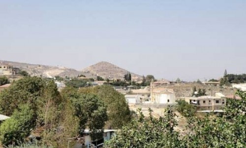
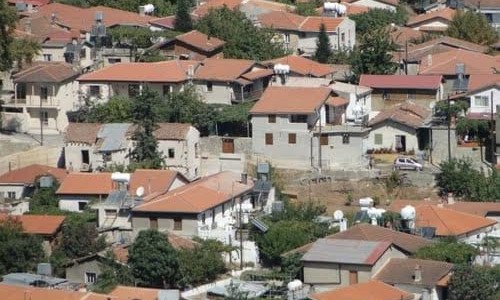
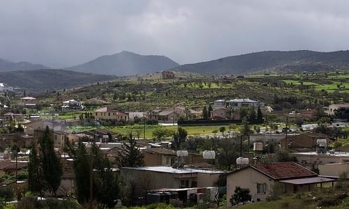
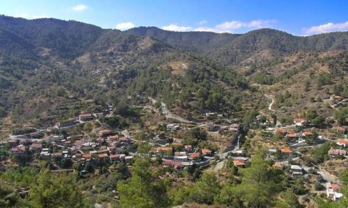
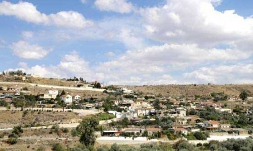
Agios Dometios is a suburb west of Nicosia and a municipality of Cyprus since 1986. It has an extent of 12 square kilometres and is located at an altitude of 160 metres. The largest part of the municipality, 4/5 are under the Turkish Occupation since 1974.

It is located 3 km from Nicosia and is crossed by the streams Siemma and Jiinar, riverines of the Pedieos River. Another large parish of the municipality is the parish of Agios Pavlos. It is mentioned for the first time during the Frankish rule, as a field.

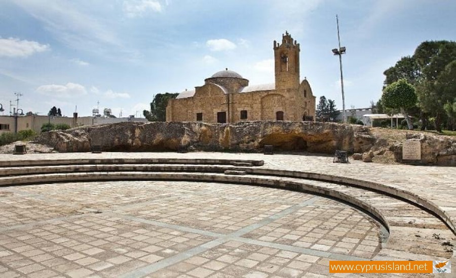
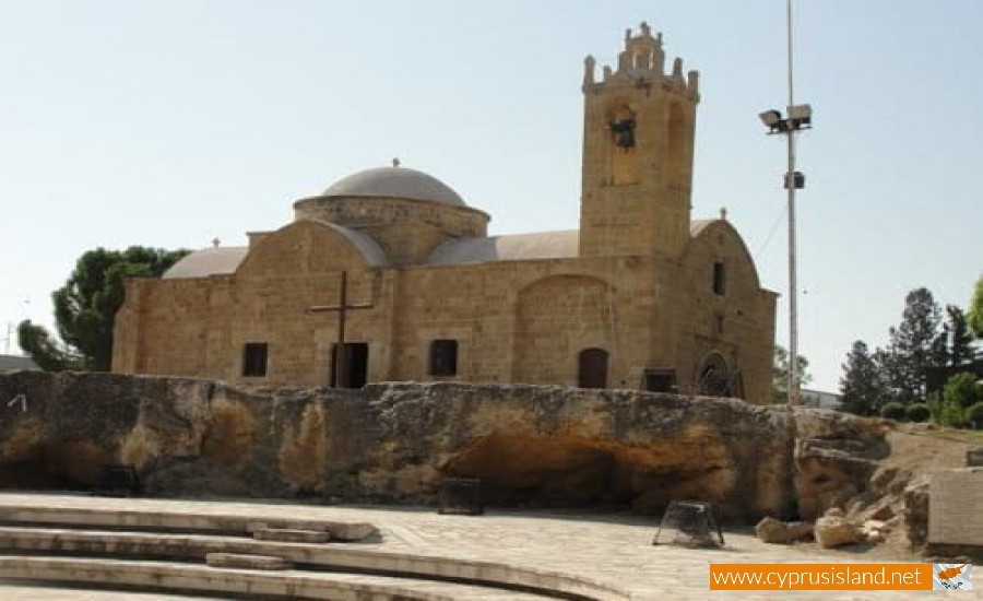
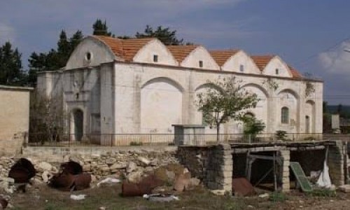
Until recently it was a small village with two churches, of Agiou Georgiou and Agiou Dometiou. It took its name from Agios Dometios the Persian. In Agios Dometios there is a border to the occupied Turkish side of Cyprus which was opened to the public in 2004.

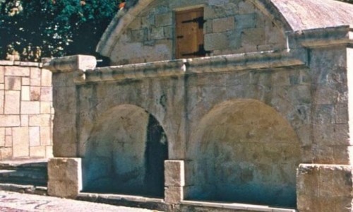
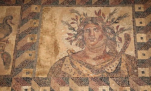
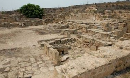
Agios Dometios photos: 
Agios Dometios location map: 

Nearby Places and things to do (within 5 km radius)

Agios Nikandros National Forest Park

The Agios Nikandros National Forest Park is located near Ayia Napa on the beach zone. A new development project is being implemented. A picn...

Water World Waterpark

The Water World Waterpark is located in Ayia Napa, and began its operation in 1996. Since then it has won more than 25 International Awar...

Ayia Napa

Perched on the southeastern coast of Cyprus, Ayia Napa is a name that conjures images of golden beaches, turquoise waters, vibrant nightlife...

Cavo Nature Trail

Location: Cavo Greco District: Ammochostos Starting Point: An old mine, a parking area in Cavo Greco. Access from the Ayia Napa – C...

Parko Paliatso Luna Park

The Parko Paliatso Luna Park is located in Ayia Napa in Cyprus. The Park opened in 1999 offering fun and excitement to people of all ages. ...

Ammos tou Kambouri Beach

Ayia Napa’s name often conjures up images of beach parties, neon lights, and packed stretches of golden sand. And yes, much of that reputa...

Pages