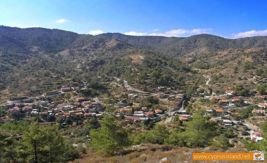
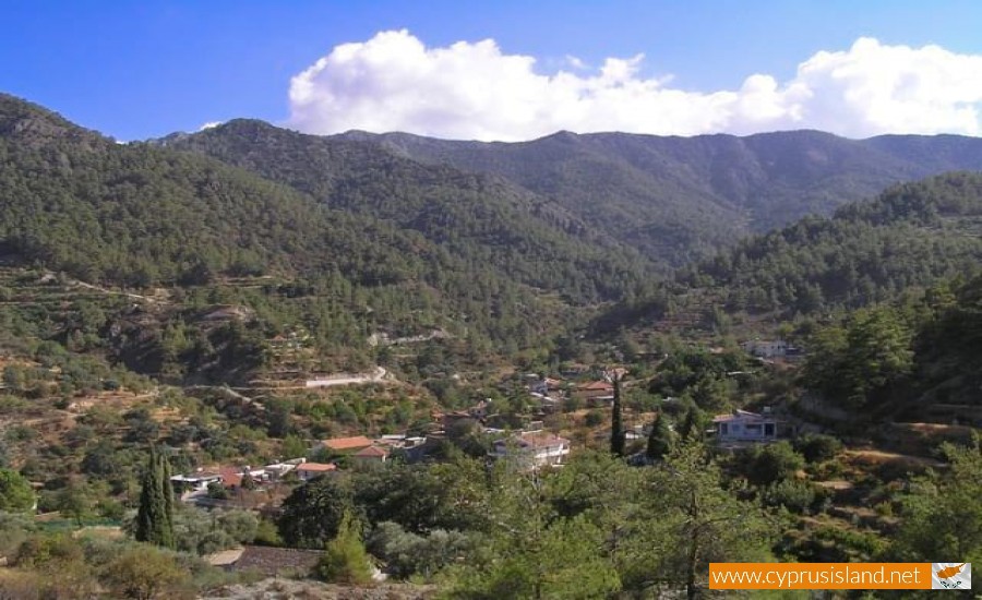
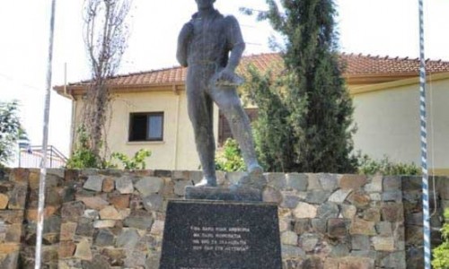
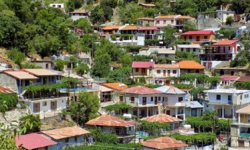
Kannavia
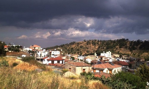
Kannavia is a village which located in the district of Nicosia about 52 kilometres northwest from the capital city. The village is built at the north side of Madaris, at an altitude of 800 metres.
The main agricultural products are vineyards, fruit trees, mostly apple trees, potatoes, almond trees and a few vegetables. However the main village area is covered in forest land which is part of the Adelphi forest which surrounds the village. At the northwest of the village, at a distance of 4 kilometres is the picnic area of Kamboura near the Forest station. Also during the last few years, many nature trails have been created due to the large number of tourist who visit the area in order to study the surrounding nature.
The name of the village probably occurred due to the fact that in the area, at older times Cannabis was cultivated. The village has existed since the ruling of the Franks and is mentioned as a royal feud by Mas Latri. In older maps it is mentioned as Cannania.