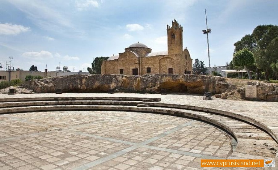
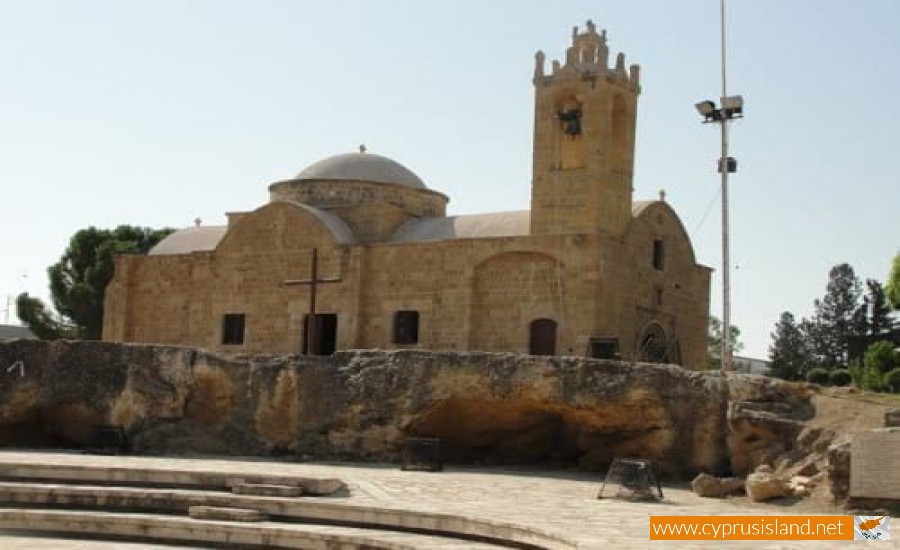
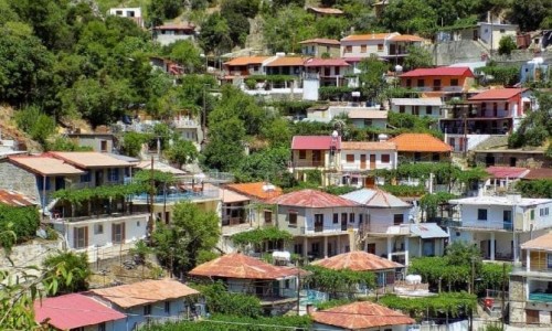
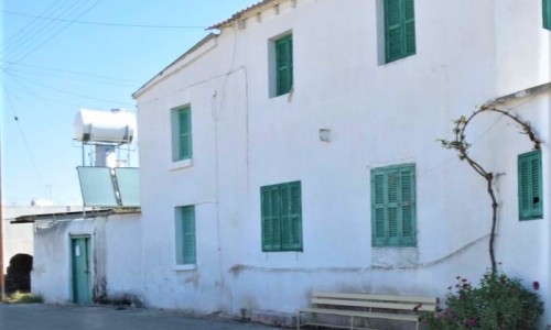
Agios Dometios is a suburb west of Nicosia and a municipality of Cyprus since 1986. It has an extent of 12 square kilometres and is located at an altitude of 160 metres. The largest part of the municipality, 4/5 are under the Turkish Occupation since 1974.

It is located 3 km from Nicosia and is crossed by the streams Siemma and Jiinar, riverines of the Pedieos River. Another large parish of the municipality is the parish of Agios Pavlos. It is mentioned for the first time during the Frankish rule, as a field.

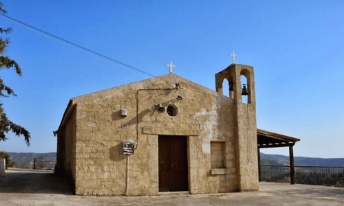
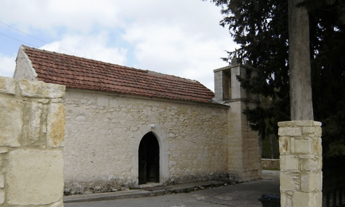
Until recently it was a small village with two churches, of Agiou Georgiou and Agiou Dometiou. It took its name from Agios Dometios the Persian. In Agios Dometios there is a border to the occupied Turkish side of Cyprus which was opened to the public in 2004.

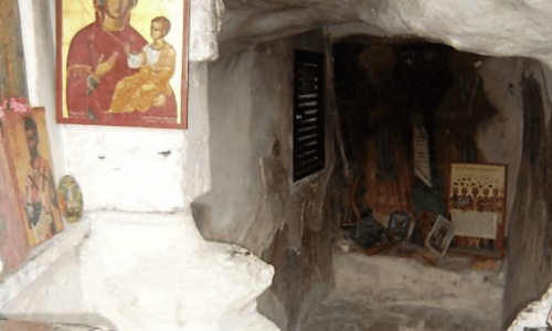
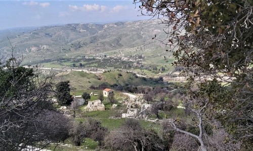
Agios Dometios photos: 
Agios Dometios location map: 

Nearby Places and things to do (within 5 km radius)

Famagusta Gate

Famagusta Gate is the most splendid of all the gates of Venetian Nicosia. The particular gate opened the way towards the most important p...

Kyrenia Gate

The Kyrenia Gate is a gate at the Walls of Nicosia, located in the north Turkish occupied part of Nicosia in Cyprus. It was the gate whic...

State Gallery of Contemporary Cypriot Art

The State Gallery of Contemporary Cypriot Art is located in the town of Nicosia and permanently houses the State Collection of Contemporary ...

Arablar Mosque (Stavros tou Missirikou)

The Arablar Mosque (Stavros tou Missirikou) is located in the east side of the Faneromeni Church courtyard, in old Nicosia. The Mosq...

Bayraktar Mosque

The Bayraktar Mosque is located at the west part of the Costanza Batalion and next to the Ohi Market. The Bayraktar Mosque  was buil...

Pages